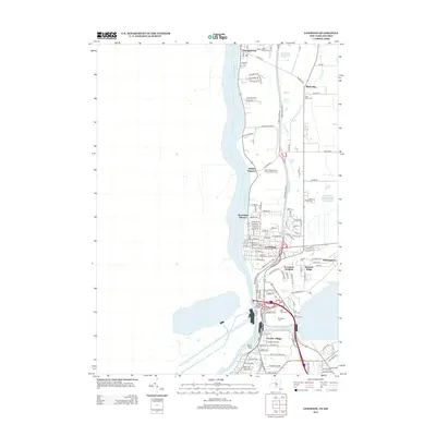
2013 Map of Lewiston
USGS Topo · Published 2013About this map
The Niagara River defines the western edge of this 2013 survey, carving a path through the landscape near the international border. In this modern period, the terrain transitions sharply at the Escarpment, a geological feature that separates the lower river valley from the elevated Rumsey Ridge. The map illustrates a dense concentration of local heritage sites, particularly in the village of Lewiston and the surrounding area.
Find a feature on this map
115 named features on this map. Tap any name to fly to it.
Don’t see what you’re looking for? This feature index may not catch every label — zoom into the map to look around manually.
Map Details
Editions of this 2013 Lewiston Map
This is the sole edition of this map. No revisions or reprints were ever made.
Other maps of this area

1894 · Niagara Falls
USGS Topo · 1:62,500

1894 · Wilson
USGS Topo · 1:62,500

1896 · Niagara Falls
USGS Topo · 1:62,500

1897 · Tonawanda
USGS Topo · 1:62,500

1899 · Niagara
USGS Topo · 1:125,000

1900 · Wilson
USGS Topo · 1:62,500

1900 · Tonawanda
USGS Topo · 1:62,500

1900 · Niagara Falls
USGS Topo · 1:62,500

1901 · Niagara Falls
USGS Topo · 1:62,500

1901 · Tonawanda
USGS Topo · 1:62,500