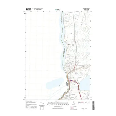
2016 Map of Lewiston
USGS Topo · Published 2016About this map
The Niagara River serves as the international boundary on this 2016 survey, defining the western edge of Niagara Falls and the surrounding townships. The landscape transitions from the dense urban and academic corridors around Niagara University and the Devils Hole Rapids to the more structured settlements of Lewiston and Youngstown. The map is particularly rich in genealogical sites, documenting numerous burial grounds such as Lewiston Village Cemetery, Riverdale Cemetery, and the Stella Niagara Sisters of Saint Francis Cemetery.
Find a feature on this map
89 named features on this map. Tap any name to fly to it.
Don’t see what you’re looking for? This feature index may not catch every label — zoom into the map to look around manually.
Map Details
Editions of this 2016 Lewiston Map
This is the sole edition of this map. No revisions or reprints were ever made.
Other maps of this area

1894 · Niagara Falls
USGS Topo · 1:62,500

1894 · Wilson
USGS Topo · 1:62,500

1896 · Niagara Falls
USGS Topo · 1:62,500

1897 · Tonawanda
USGS Topo · 1:62,500

1899 · Niagara
USGS Topo · 1:125,000

1900 · Wilson
USGS Topo · 1:62,500

1900 · Tonawanda
USGS Topo · 1:62,500

1900 · Niagara Falls
USGS Topo · 1:62,500

1901 · Niagara Falls
USGS Topo · 1:62,500

1901 · Tonawanda
USGS Topo · 1:62,500