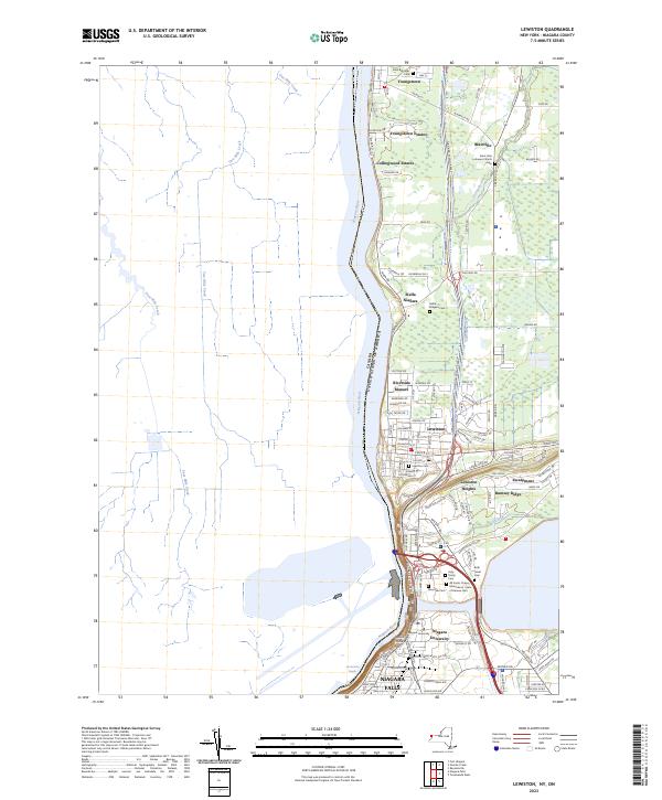
2023 Map of Lewiston
USGS Topo · Published 2023About this map
The Niagara River forms a dramatic international boundary between the United States of America and Canada, carving through a landscape defined by the prominent Escarpment. Along the American banks, the historic village of Lewiston and the community of Youngstown anchor a corridor rich with spiritual and educational history. This modern survey shows a concentration of cultural sites, from Stella Niagara and Niagara University to a significant cluster of memorial grounds near the southern edge, including Riverdale Cem, Holy Trinity Cem, and Beth Israel Cem. The terrain shifts from the high ground of Rumsey Ridge down toward the turbulent waters of the Devils Hole Rapids. Residential expansion is evident in newer developments like Youngstown Estates and Collingwood Estates, yet the map still traces the path of numerous waterways like Fourmile Creek and Fish Creek as they drain toward the Great Lakes system.
Find a feature on this map
122 named features on this map. Tap any name to fly to it.
Don’t see what you’re looking for? This feature index may not catch every label — zoom into the map to look around manually.
Map Details
Editions of this 2023 Lewiston Map
This is the sole edition of this map. No revisions or reprints were ever made.
Other maps of this area

1894 · Niagara Falls
USGS Topo · 1:62,500

1894 · Wilson
USGS Topo · 1:62,500

1896 · Niagara Falls
USGS Topo · 1:62,500

1897 · Tonawanda
USGS Topo · 1:62,500

1899 · Niagara
USGS Topo · 1:125,000

1900 · Wilson
USGS Topo · 1:62,500

1900 · Tonawanda
USGS Topo · 1:62,500

1900 · Niagara Falls
USGS Topo · 1:62,500

1901 · Niagara Falls
USGS Topo · 1:62,500

1901 · Tonawanda
USGS Topo · 1:62,500