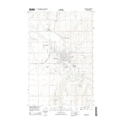
2014 Map of Lewistown
USGS Topo · Published 2014About this map
Lewistown serves as the central hub of this Fergus County landscape, where the waters of Big Spring Creek flow through the heart of the community. This 2014 survey illustrates a complex infrastructure of transportation and local history, anchored by the Lewistown Municipal Airport and the convergence of major routes at Roy-Winifred Junction. The map provides significant detail for genealogists, marking the Lewistown City Cem and Calvary Cem near the northern reaches of the city. Settlement patterns extend outward to West Lewistown and Lewistown Heights, while the railroad legacy is preserved at Lewistown Junction. The surrounding terrain is defined by a dense network of watercourses, including Little Casino Creek and Casino Creek to the south, and Wolverine Creek to the west. From the Big Spring Creek Bridge to the namesake mountain roads like Snowy Mountain Drive, the map captures the transition from an urban center to the Montana prairie.
Find a feature on this map
131 named features on this map. Tap any name to fly to it.
Don’t see what you’re looking for? This feature index may not catch every label — zoom into the map to look around manually.
Map Details
Editions of this 2014 Lewistown Map
This is the sole edition of this map. No revisions or reprints were ever made.
Other maps of this area

1889 · Big Snowy Mountain
USGS Topo · 1:250,000

1893 · Big Snowy Mountain
USGS Topo · 1:250,000

1941 · Lewistown
USGS Topo · 1:62,500

1944 · Lewistown
USGS Topo · 1:62,500

1954 · Roundup
USGS Topo · 1:250,000

1954 · Lewistown
USGS Topo · 1:250,000

1958 · Roundup
USGS Topo · 1:250,000

1959 · Lewistown
USGS Topo · 1:250,000

1970 · Glengarry
USGS Topo · 1:24,000

1970 · Spring Creek Junction
USGS Topo · 1:24,000
Featured Places
- Lewistown, MT
- Lewistown Heights, MT
- Mountain Acres Mobile Home Park, Lewistown
- Lewistown Junction, MT
- Roy-Winifred Junction, MT