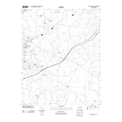
2010 Map of Lexington East
USGS Topo · Published 2010About this map
Abbotts Creek and its various forks define the topography of this eastern North Carolina corridor, where the residential expansion of Lexington meets a landscape of established groves and cemeteries. The suburban footprint is evident in neighborhoods like Colonial Heights and Arbor Acres, which sit alongside institutional landmarks such as the State Prison Camp Number 602.
Find a feature on this map
94 named features on this map. Tap any name to fly to it.
Don’t see what you’re looking for? This feature index may not catch every label — zoom into the map to look around manually.
Map Details
Editions of this 2010 Lexington East Map
This is the sole edition of this map. No revisions or reprints were ever made.
Other maps of this area

1949 · Denton NW
USGS Topo · 1:24,000

1949 · Eller
USGS Topo · 1:24,000

1949 · High Point West
USGS Topo · 1:24,000

1950 · Lexington East
USGS Topo · 1:24,000

1950 · Lexington West
USGS Topo · 1:24,000

1951 · Lexington East
USGS Topo · 1:24,000

1951 · Lexington West
USGS Topo · 1:24,000

1951 · Fair Grove
USGS Topo · 1:24,000

1953 · Charlotte
USGS Topo · 1:250,000

1954 · Charlotte
USGS Topo · 1:250,000