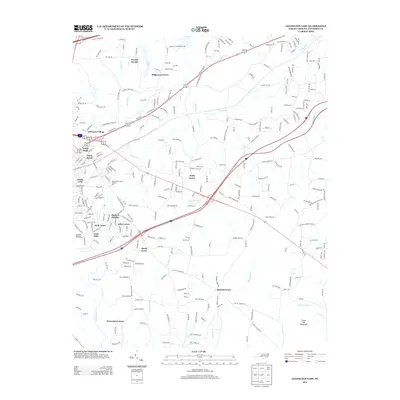
2013 Map of Lexington East
USGS Topo · Published 2013About this map
Abbotts Cr and its various tributaries, including Rich Fork and Hamby Cr, define the drainage and development patterns of this part of Davidson County. The landscape is a network of mid-century and modern residential developments such as Jefferson Village, Ridgewood Acres, and Arbor Acres that have filled the spaces between older agricultural communities. Notable institutional landmarks include the State Prison Camp Number 602 and the Lexington Municipal Golf Course on the western edge.
Find a feature on this map
278 named features on this map. Tap any name to fly to it.
Don’t see what you’re looking for? This feature index may not catch every label — zoom into the map to look around manually.
Map Details
Editions of this 2013 Lexington East Map
This is the sole edition of this map. No revisions or reprints were ever made.
Other maps of this area

1949 · Denton NW
USGS Topo · 1:24,000

1949 · Eller
USGS Topo · 1:24,000

1949 · High Point West
USGS Topo · 1:24,000

1950 · Lexington East
USGS Topo · 1:24,000

1950 · Lexington West
USGS Topo · 1:24,000

1951 · Lexington East
USGS Topo · 1:24,000

1951 · Lexington West
USGS Topo · 1:24,000

1951 · Fair Grove
USGS Topo · 1:24,000

1953 · Charlotte
USGS Topo · 1:250,000

1954 · Charlotte
USGS Topo · 1:250,000