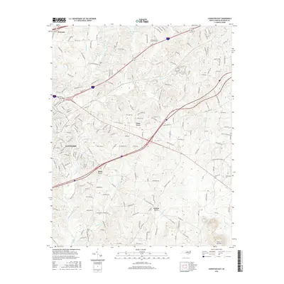
2016 Map of Lexington East
USGS Topo · Published 2016About this map
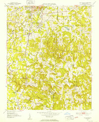
Lexington serves as a primary anchor on this 2016 survey, where the suburban landscape meets the rolling Piedmont terrain of Davidson County. The map details a network of smaller communities including Welcome, Holly Grove, and Hedrick Grove, reflecting a pattern of rural crossroads evolving into residential clusters. Notable cultural landmarks like the Davidson County Community Coll and historic spiritual centers such as Pilgrim Church and Sandy Grove Ch are clearly marked, providing essential data points for local historians and genealogists tracking family movements between these centers and nearby Becks Cem.
Find a feature on this map
195 named features on this map. Tap any name to fly to it.
Don’t see what you’re looking for? This feature index may not catch every label — zoom into the map to look around manually.
Map Details
Editions of this 2016 Lexington East Map
This is the sole edition of this map. No revisions or reprints were ever made.
Other maps of this area
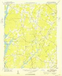
1949 · Denton NW
USGS Topo · 1:24,000
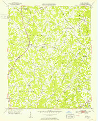
1949 · Eller
USGS Topo · 1:24,000
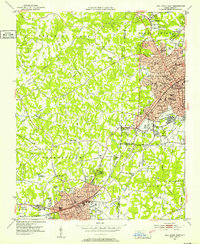
1949 · High Point West
USGS Topo · 1:24,000
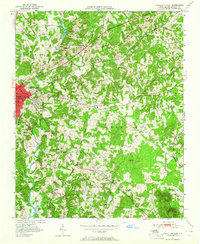
1950 · Lexington East
USGS Topo · 1:24,000
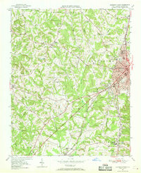
1950 · Lexington West
USGS Topo · 1:24,000
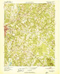
1951 · Lexington East
USGS Topo · 1:24,000
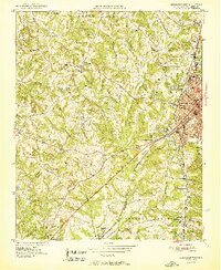
1951 · Lexington West
USGS Topo · 1:24,000
1951 · Fair Grove
USGS Topo · 1:24,000

1953 · Charlotte
USGS Topo · 1:250,000

1954 · Charlotte
USGS Topo · 1:250,000