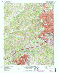
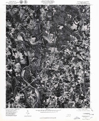
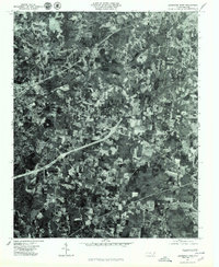
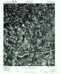
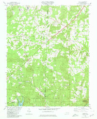
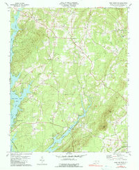
2022 Map of Lexington East
USGS Topo · Published 2022About this map
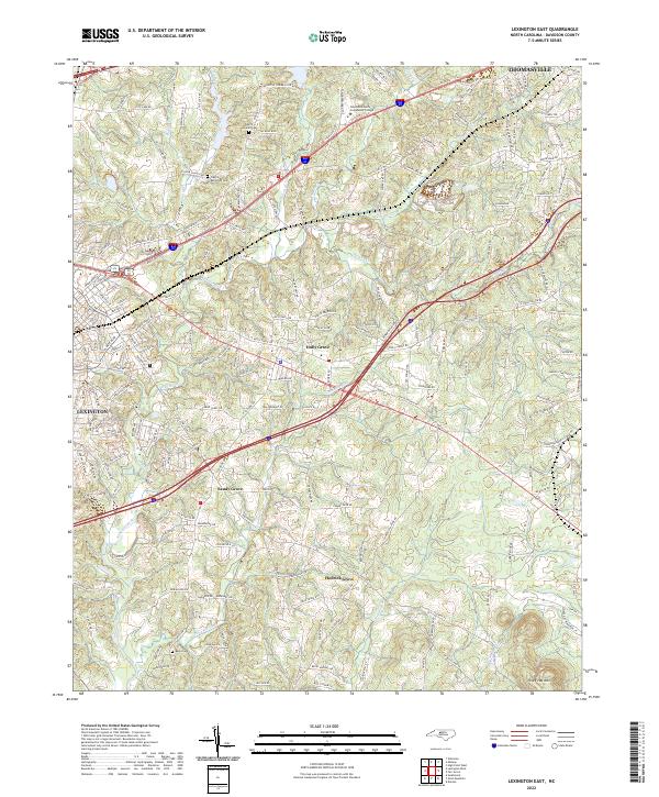
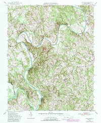
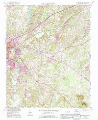
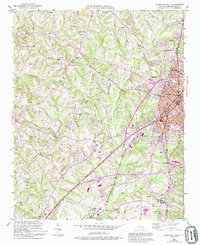
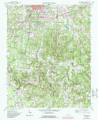
Lexington and Thomasville anchor the corners of this landscape, which transitions from urban outskirts into a network of small communities and rural family homesteads. The central portion of the sheet is defined by the drainage systems of Abbotts Creek and its many tributaries, including Hamby Cr and Rich Fork, which have shaped the settlement patterns of towns like Holly Grove and Sandy Grove. Genealogists will find significant detail in the placement of historic burial grounds such as Pilgrim Reformed Cem and Pilgrim Lutheran Cem near the northern border, along with Becks Cem to the south. The presence of Davidson County Community College marks the area's development as an educational hub, while the terrain rises toward Three Hat Mtn in the southeast, providing a clear view of the natural topography that constrained early road building in Davidson County.
Find a feature on this map
193 named features on this map. Tap any name to fly to it.
Don’t see what you’re looking for? This feature index may not catch every label — zoom into the map to look around manually.
Map Details
Editions of this 2022 Lexington East Map
This is the sole edition of this map. No revisions or reprints were ever made.
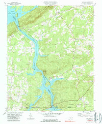
Historical Maps of Arbor Acres Through Time
34 maps found

1949 Denton NW
Davidson County, NC
1949 Eller
Davidson County, NC
1949 High Point West
Davidson County, NC
1949 High Rock
Davidson County, NC
1950 Churchland
Davidson County, NC
1950 Lexington East
Davidson County, NC
1950 Lexington West
Davidson County, NC

1951 Churchland
Davidson County, NC
1951 Fair Grove
Davidson County, NC

1951 Lexington East
Davidson County, NC

1951 Lexington West
Davidson County, NC
1969 High Point West
Davidson County, NC
1977 Churchland
Davidson County, NC
1977 Denton NW
Davidson County, NC
1977 Fair Grove
Davidson County, NC

1977 High Point West
Davidson County, NC

1977 High Rock
Davidson County, NC
1977 Lexington East
Davidson County, NC
1977 Lexington West
Davidson County, NC
1980 Handy
Davidson County, NC
1980 High Rock
Davidson County, NC
1981 Grist Mountain
Davidson County, NC
1993 High Point West
Davidson County, NC
1994 Handy
Davidson County, NC
1994 High Rock
Davidson County, NC
2000 Churchland
Davidson County, NC
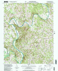
2022 Churchland
Davidson County, NC
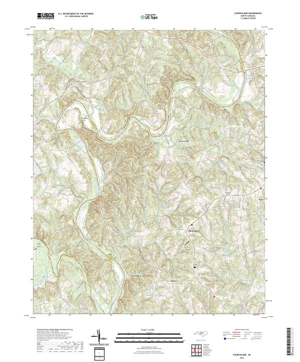
2022 Fair Grove
Davidson County, NC
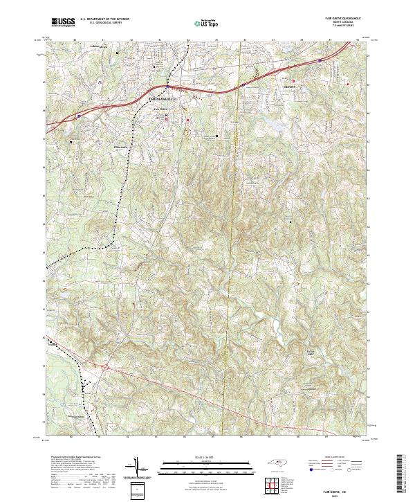
2022 Grist Mountain
Davidson County, NC
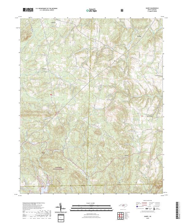
2022 Handy
Davidson County, NC
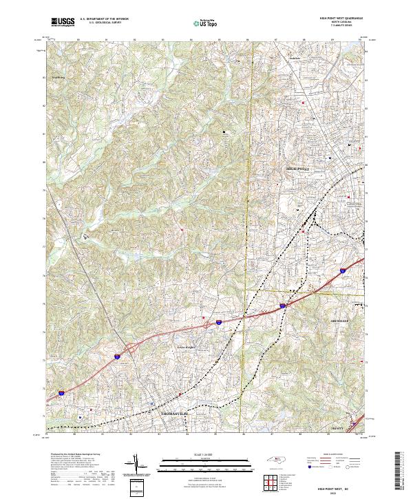
2022 High Point West
Davidson County, NC
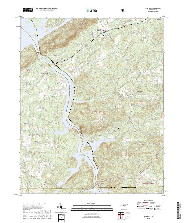
2022 High Rock
Davidson County, NC
2022 Lexington East
Davidson County, NC
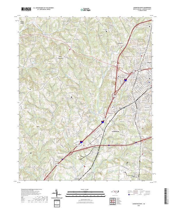
2023 Lexington West
Davidson County, NC