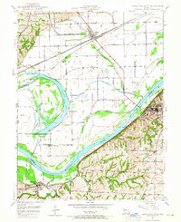
1949 Map of Lexington West
USGS Topo · Published 1965About this map
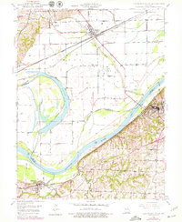
The Missouri River forms the central artery of this landscape, separating the bottomlands of Ray County from the bluffs of Lafayette County during the late 1940s. The northern floodplain is dominated by the sweeping curve of Sunshine Lake and the grid-aligned rail infrastructure serving Henrietta, where the Atchison Topeka and Santa Fe and Wabash lines converge. To the south, the topography rises sharply, hosting the coal-mining and river-town economies of Lexington and Wellington. Extensive Mine Dumps dot the hillsides near the Missouri Pacific tracks, particularly around Myrick, illustrating the area's industrial past. The map preserves the locations of vital community anchors like the County Home, Linden Sch, and Ingle Ch, alongside numerous family cemeteries including Foster Cem and Mitchell Cem.
Find a feature on this map
32 named features on this map. Tap any name to fly to it.
Don’t see what you’re looking for? This feature index may not catch every label — zoom into the map to look around manually.
Map Details
Editions of this 1949 Lexington West Map
3 editions found
Other maps of this area

1889 · Lexington
USGS Topo · 1:125,000

1894 · Independence
USGS Topo · 1:125,000

1949 · Mayview
USGS Topo · 1:24,000

1949 · Lexington East
USGS Topo · 1:24,000

1949 · Lexington West
USGS Topo · 1:24,000

1949 · Odessa North
USGS Topo · 1:24,000

1950 · Lexington East
USGS Topo · 1:24,000

1950 · Mayview
USGS Topo · 1:24,000

1950 · Kansas City
USGS Topo · 1:250,000

1950 · Odessa North
USGS Topo · 1:24,000