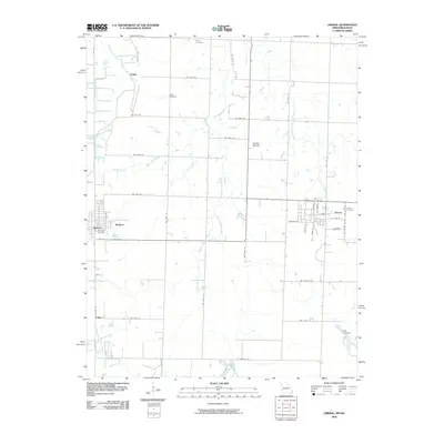
2009 Map of Liberal
USGS Topo · Published 2009About this map
Liberal serves as the primary hub in this southwestern Missouri landscape, where the grid of Barton County meets the Crawford County, Kansas line. This borderland geography is defined by a dense network of small communities and rural intersections, including Mulberry, Burgess, and Fuller. The map reveals a high concentration of burial sites for a rural quadrangle, featuring the Leroy Cemetery to the north, Rosebank Cemetery near Mulberry, and Liberal Cemetery on the eastern edge of town.
Find a feature on this map
32 named features on this map. Tap any name to fly to it.
Don’t see what you’re looking for? This feature index may not catch every label — zoom into the map to look around manually.
Map Details
Editions of this 2009 Liberal Map
This is the sole edition of this map. No revisions or reprints were ever made.
Other maps of this area

1884 · Fort Scott
USGS Topo · 1:125,000

1886 · Nevada
USGS Topo · 1:125,000

1886 · Joplin
USGS Topo · 1:125,000

1886 · Fort Scott
USGS Topo · 1:125,000

1886 · Carthage
USGS Topo · 1:125,000

1893 · Fort Scott
USGS Topo · 1:125,000

1894 · Nevada
USGS Topo · 1:125,000

1894 · Joplin
USGS Topo · 1:125,000

1894 · Carthage
USGS Topo · 1:125,000

1945 · Pittsburg
USGS Topo · 1:62,500