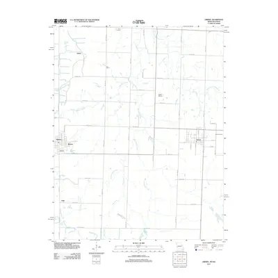
2011 Map of Liberal
USGS Topo · Published 2011About this map
The town of Liberal anchors this 2011 survey, situated within a landscape shaped by both agriculture and conservation near the Missouri-Kansas border. The area is defined by the headwaters of the Dry Wood Creek system, including East Fork Dry Wood Creek and the meandering East Drywood Creek. These waterways drain a prairie landscape where high points like Haake Mound provide relief from the surrounding agricultural grid. To the southwest, the preserved grasslands of Prairie State Park contrast with the settled clusters of Mulberry, Burgess, and Fuller.
Find a feature on this map
46 named features on this map. Tap any name to fly to it.
Don’t see what you’re looking for? This feature index may not catch every label — zoom into the map to look around manually.
Map Details
Editions of this 2011 Liberal Map
This is the sole edition of this map. No revisions or reprints were ever made.
Other maps of this area

1884 · Fort Scott
USGS Topo · 1:125,000

1886 · Nevada
USGS Topo · 1:125,000

1886 · Joplin
USGS Topo · 1:125,000

1886 · Fort Scott
USGS Topo · 1:125,000

1886 · Carthage
USGS Topo · 1:125,000

1893 · Fort Scott
USGS Topo · 1:125,000

1894 · Nevada
USGS Topo · 1:125,000

1894 · Joplin
USGS Topo · 1:125,000

1894 · Carthage
USGS Topo · 1:125,000

1945 · Pittsburg
USGS Topo · 1:62,500