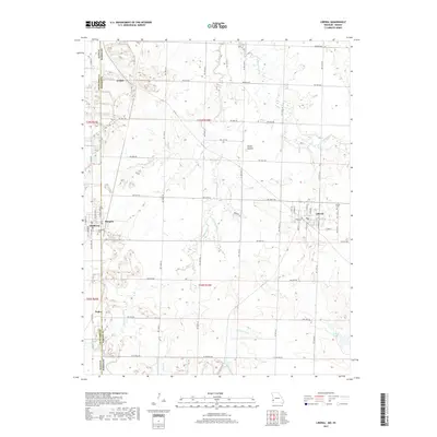
2017 Map of Liberal
USGS Topo · Published 2017About this map
Liberal serves as the primary hub of this landscape where the Kansas and Missouri border meets, showing a classic Midwestern grid of streets like Gross St and E Yale St. The area is defined by its agricultural layout, intersected by numerous named drainage branches such as Dry Wood Cr and its tributaries, Bitter Cr and E Fork Dry Wood Cr. Outside the main town, smaller settlements like Burgess, Mulberry, and Fuller appear along the county line, reflecting the localized development of Barton County and Crawford County. Genealogists will find the locations of Liberal Cem and Rosebank Cem particularly useful for tracing family roots. A notable geographic feature, Haake Mound, rises above the surrounding plains near NW 50th Rd, providing a distinct landmark in an otherwise gently undulating terrain that drains toward Roses Lake.
Find a feature on this map
37 named features on this map. Tap any name to fly to it.
Don’t see what you’re looking for? This feature index may not catch every label — zoom into the map to look around manually.
Map Details
Editions of this 2017 Liberal Map
This is the sole edition of this map. No revisions or reprints were ever made.
Other maps of this area

1884 · Fort Scott
USGS Topo · 1:125,000

1886 · Nevada
USGS Topo · 1:125,000

1886 · Joplin
USGS Topo · 1:125,000

1886 · Fort Scott
USGS Topo · 1:125,000

1886 · Carthage
USGS Topo · 1:125,000

1893 · Fort Scott
USGS Topo · 1:125,000

1894 · Nevada
USGS Topo · 1:125,000

1894 · Joplin
USGS Topo · 1:125,000

1894 · Carthage
USGS Topo · 1:125,000

1945 · Pittsburg
USGS Topo · 1:62,500