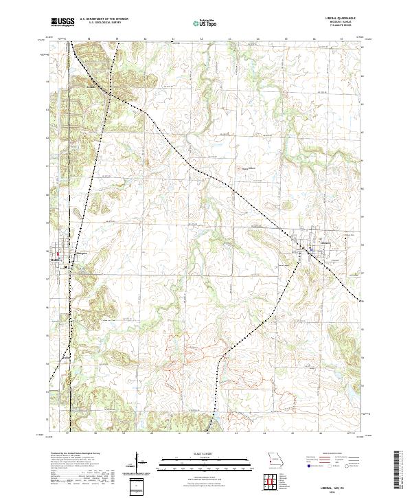
2021 Map of Liberal
USGS Topo · Published 2021About this map
Liberal stands as a focal point along the state line where Barton County, Missouri, meets Crawford County, Kansas. This landscape is defined by the headwaters of the Dry Wood Creek and Bitter Creek drainage systems, which weave through a network of rural sections. The map reveals a series of named paths in the southern half of the quadrangle, including the Drovers Trl, Gayfeather Trl, and Path Of The Earth People Trl, suggesting a concerted effort to mark cultural and natural corridors through the prairie terrain. Smaller settlements like Burgess, Ardath, and Fuller appear along the western boundary, providing key locations for local history and genealogy. Notable landmarks include Haake Mound and several established burial grounds such as Liberal Cem and Rosebank Cem, which anchor the community's history to the land.
Find a feature on this map
35 named features on this map. Tap any name to fly to it.
Don’t see what you’re looking for? This feature index may not catch every label — zoom into the map to look around manually.
Map Details
Editions of this 2021 Liberal Map
This is the sole edition of this map. No revisions or reprints were ever made.
Other maps of this area

1884 · Fort Scott
USGS Topo · 1:125,000

1886 · Nevada
USGS Topo · 1:125,000

1886 · Joplin
USGS Topo · 1:125,000

1886 · Fort Scott
USGS Topo · 1:125,000

1886 · Carthage
USGS Topo · 1:125,000

1893 · Fort Scott
USGS Topo · 1:125,000

1894 · Nevada
USGS Topo · 1:125,000

1894 · Joplin
USGS Topo · 1:125,000

1894 · Carthage
USGS Topo · 1:125,000

1945 · Pittsburg
USGS Topo · 1:62,500