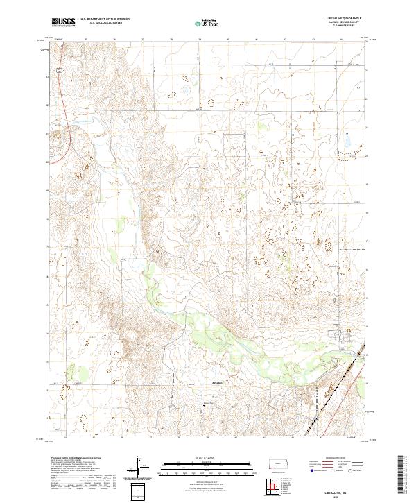
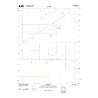
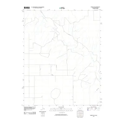
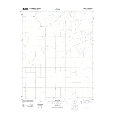
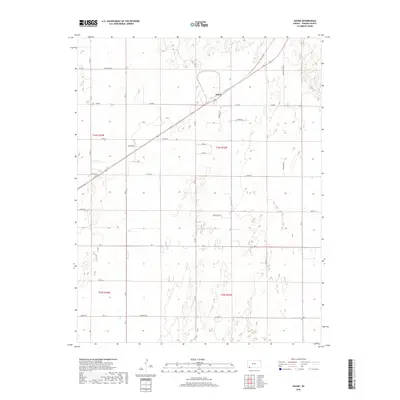
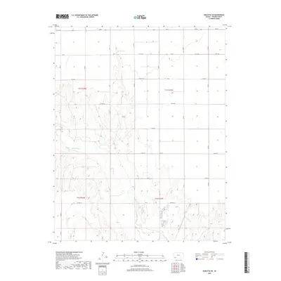
2022 Map of Liberal NE
USGS Topo · Published 2022About this map
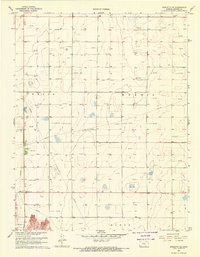
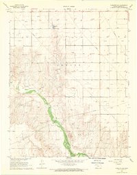
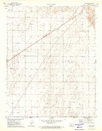
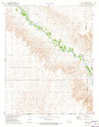
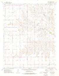
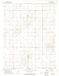
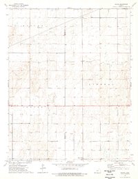
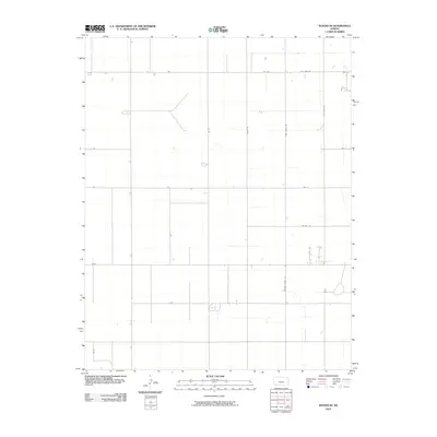
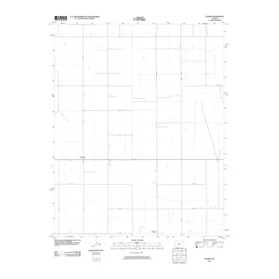
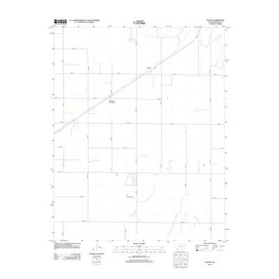
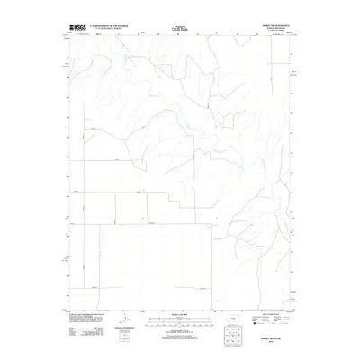
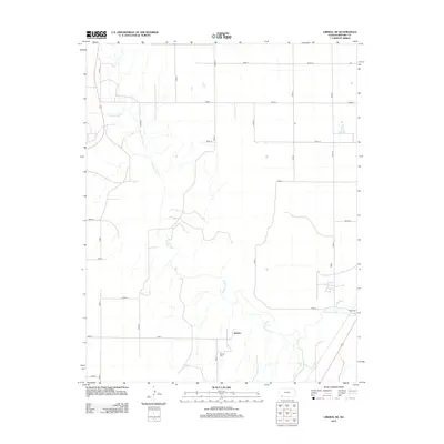
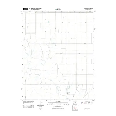
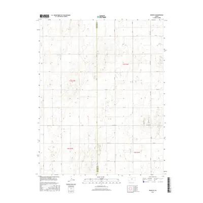
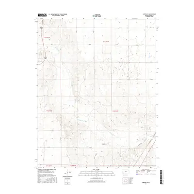
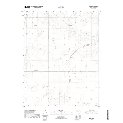
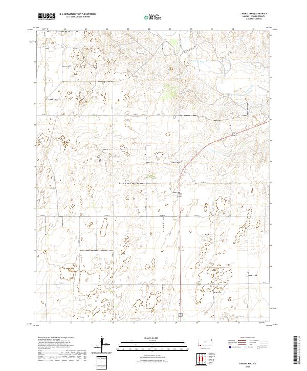
The Cimarron River winds diagonally across this corner of Seward County, carving a distinct valley through the Kansas plains. Near the river's edge, the settlement of Arkalon serves as a focal point for local history, preserved alongside the Arkalon Cem to the south. The landscape is defined by a rhythmic grid of rural roads, including 7 Mile Rd and Kane Rd, which facilitate movement across the agricultural expanse. The elevation contours reveal the subtle draws and breaks that lead toward the river basin, contrasting with the flat tablelands above. This area, managed under the U.S. Department of the Interior, reflects the persistent patterns of prairie life where small hubs like Arkalon and their connecting routes, such as Arkalon Park Rd, remain the primary markers of human geography in a predominantly natural environment.
Find a feature on this map
29 named features on this map. Tap any name to fly to it.
Don’t see what you’re looking for? This feature index may not catch every label — zoom into the map to look around manually.
Map Details
Editions of this 2022 Liberal NE Map
This is the sole edition of this map. No revisions or reprints were ever made.
Historical Maps of Arkalon Through Time
60 maps found
1968 Liberal NE
Seward County, KS
1968 Liberal NW
Seward County, KS
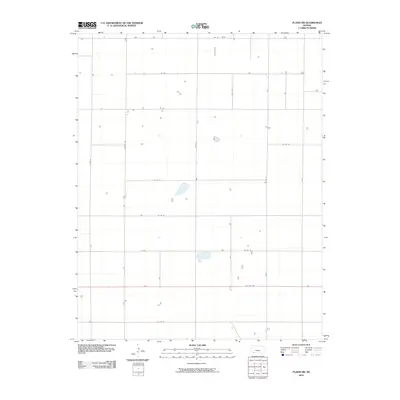
1968 Plains SW
Seward County, KS
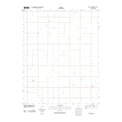
1968 Sublette SE
Seward County, KS
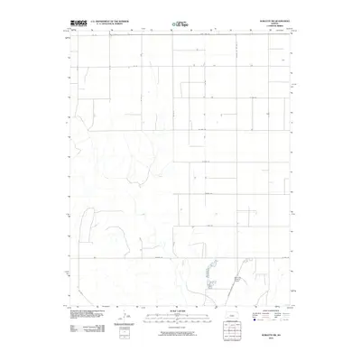
1968 Sublette SW
Seward County, KS
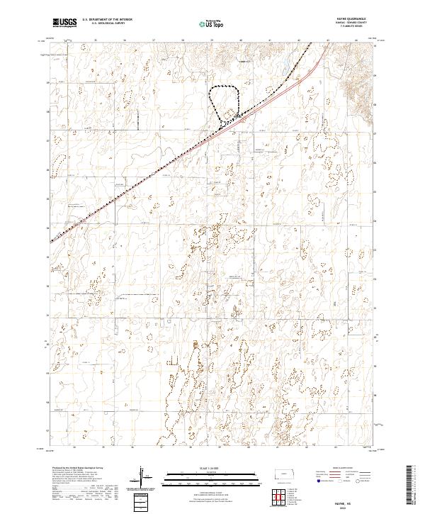
1971 Hayne
Seward County, KS
1971 Kismet SW
Seward County, KS
1974 Moscow SE
Seward County, KS
1974 Woods SE
Seward County, KS
1974 Woods
Seward County, KS
2010 Hayne
Seward County, KS
2010 Kismet SW
Seward County, KS
2010 Liberal NE
Seward County, KS
2010 Liberal NW
Seward County, KS
2010 Moscow SE
Seward County, KS
2010 Plains SW
Seward County, KS
2010 Sublette SE
Seward County, KS
2010 Sublette SW
Seward County, KS
2010 Woods SE
Seward County, KS
2010 Woods
Seward County, KS
2012 Hayne
Seward County, KS
2012 Kismet SW
Seward County, KS
2012 Liberal NE
Seward County, KS
2012 Liberal NW
Seward County, KS
2012 Moscow SE
Seward County, KS
2012 Plains SW
Seward County, KS
2012 Sublette SE
Seward County, KS
2012 Sublette SW
Seward County, KS
2012 Woods SE
Seward County, KS
2012 Woods
Seward County, KS
2015 Moscow SE
Seward County, KS
2015 Woods SE
Seward County, KS
2015 Woods
Seward County, KS
2016 Hayne
Seward County, KS
2016 Kismet SW
Seward County, KS
2016 Liberal NE
Seward County, KS
2016 Liberal NW
Seward County, KS
2016 Plains SW
Seward County, KS
2016 Sublette SE
Seward County, KS
2016 Sublette SW
Seward County, KS
2018 Hayne
Seward County, KS
2018 Kismet SW
Seward County, KS
2018 Liberal NE
Seward County, KS
2018 Liberal NW
Seward County, KS
2018 Moscow SE
Seward County, KS
2018 Plains SW
Seward County, KS
2018 Sublette SE
Seward County, KS
2018 Sublette SW
Seward County, KS
2018 Woods SE
Seward County, KS
2018 Woods
Seward County, KS
2022 Hayne
Seward County, KS
2022 Kismet SW
Seward County, KS
2022 Liberal NE
Seward County, KS
2022 Liberal NW
Seward County, KS
2022 Moscow SE
Seward County, KS
2022 Plains SW
Seward County, KS
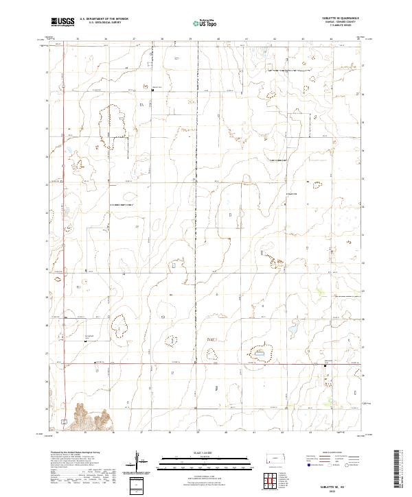
2022 Sublette SE
Seward County, KS
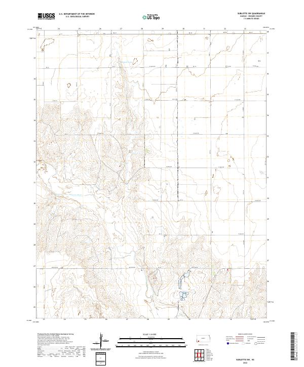
2022 Sublette SW
Seward County, KS
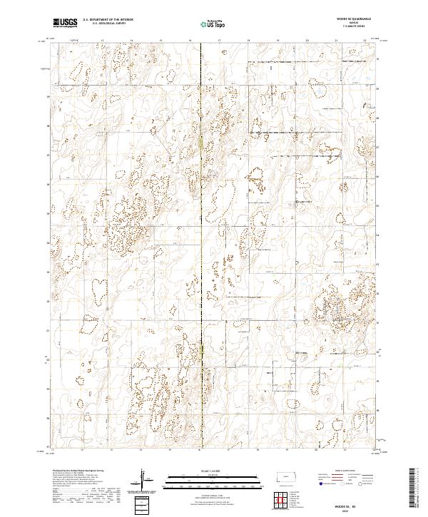
2022 Woods SE
Seward County, KS
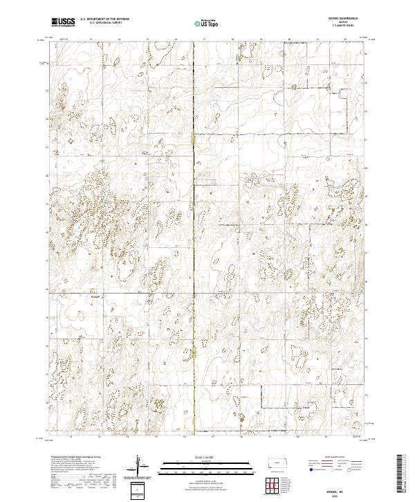
2022 Woods
Seward County, KS