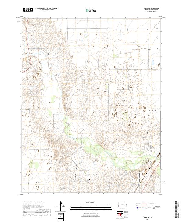
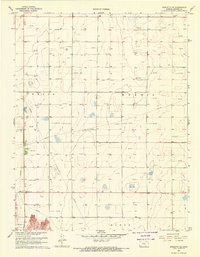
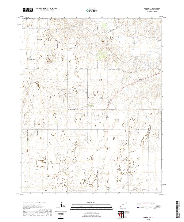
2022 Map of Liberal NE
USGS Topo · Published 2022This historical map portrays the area of Liberal NE in 2022, primarily covering Seward County. Featuring a scale of 1:24000, this map provides a highly detailed snapshot of the terrain, roads, buildings, counties, and historical landmarks in the Liberal NE region at the time. Published in 2022, it is the sole known edition of this map.
Find a feature on this map
29 named features on this map. Tap any name to fly to it.
Don’t see what you’re looking for? This feature index may not catch every label — zoom into the map to look around manually.
Map Details
Editions of this 2022 Liberal NE Map
This is the sole edition of this map. No revisions or reprints were ever made.
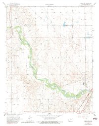
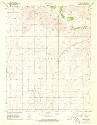
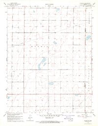
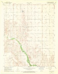
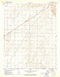
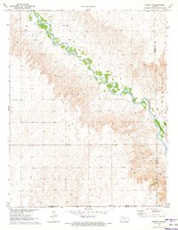
Historical Maps of Arkalon Through Time
20 maps found
1968 Liberal NE
Seward County, KS
1968 Liberal NW
Seward County, KS
1968 Plains SW
Seward County, KS
1968 Sublette SE
Seward County, KS
1968 Sublette SW
Seward County, KS
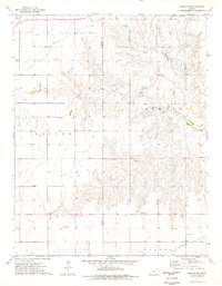
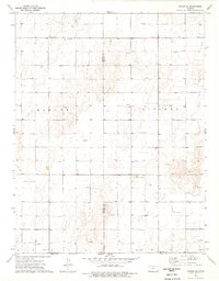
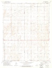
1971 Hayne
Seward County, KS
1971 Kismet SW
Seward County, KS
1974 Moscow SE
Seward County, KS
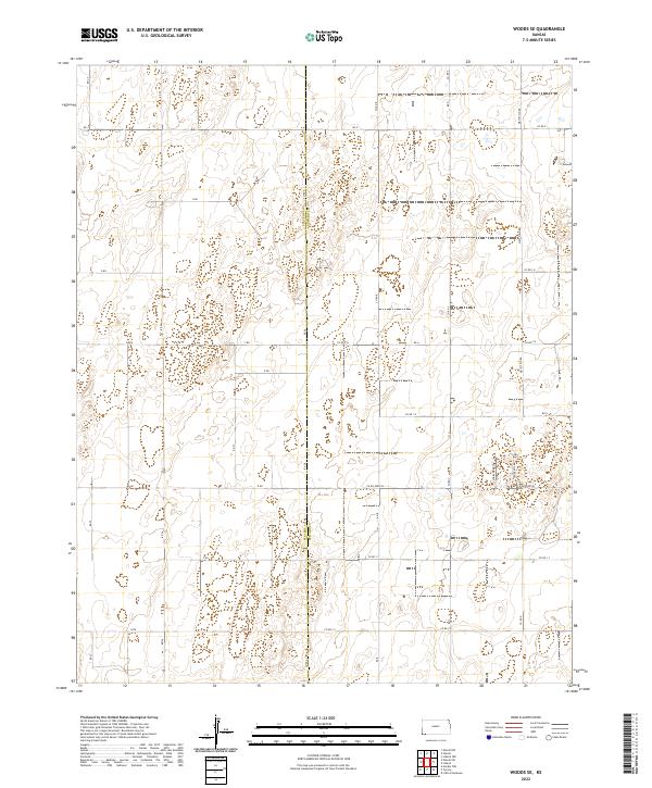
1974 Woods SE
Seward County, KS
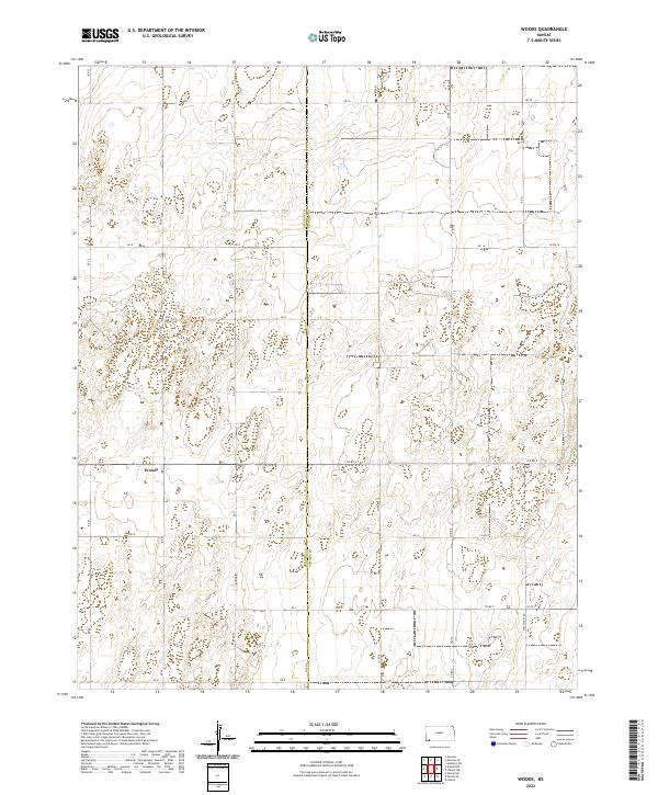
1974 Woods
Seward County, KS
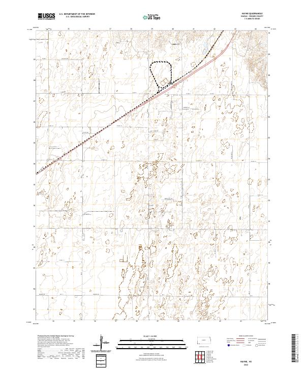
2022 Hayne
Seward County, KS
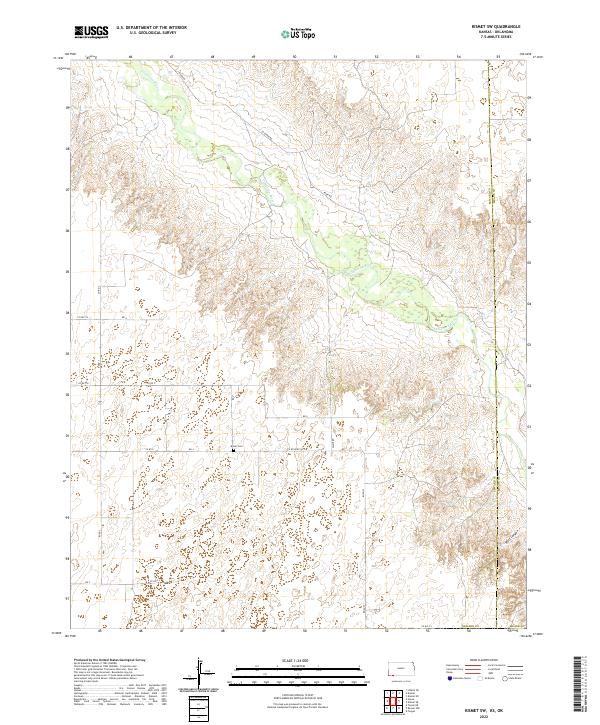
2022 Kismet SW
Seward County, KS
2022 Liberal NE
Seward County, KS
2022 Liberal NW
Seward County, KS
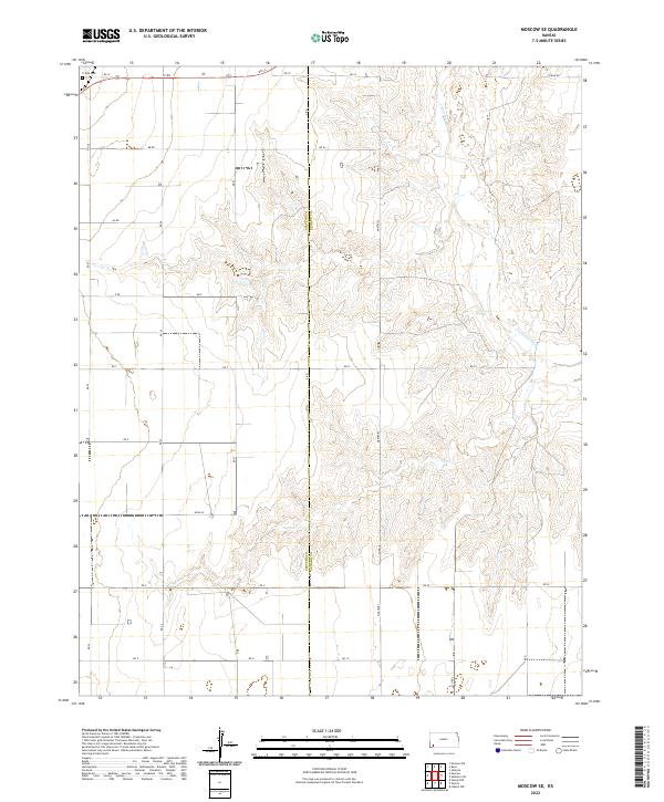
2022 Moscow SE
Seward County, KS
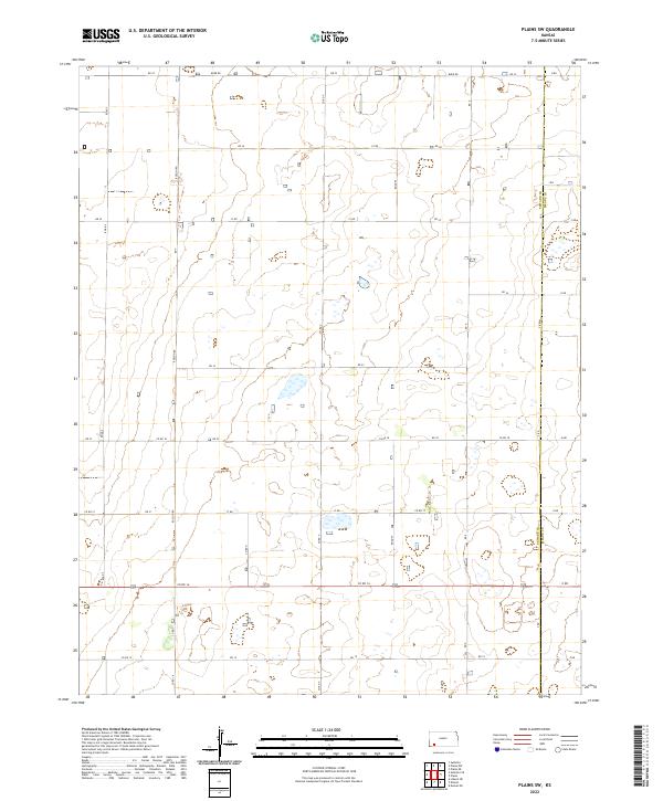
2022 Plains SW
Seward County, KS
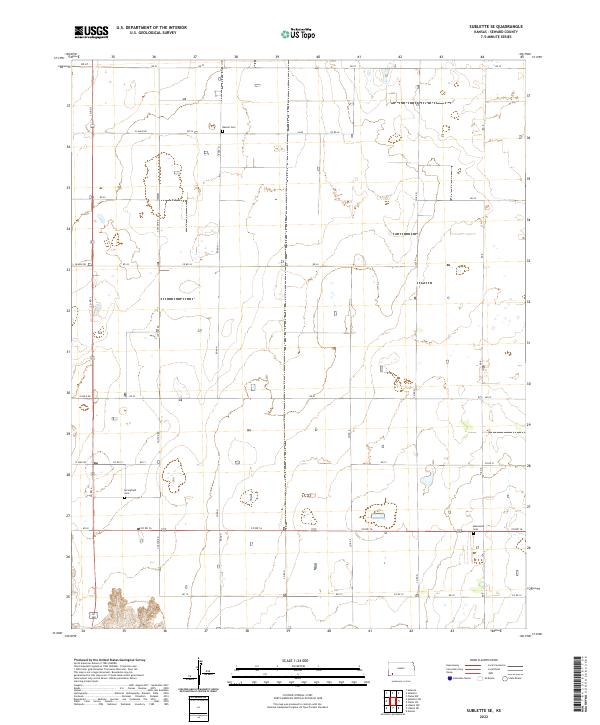
2022 Sublette SE
Seward County, KS
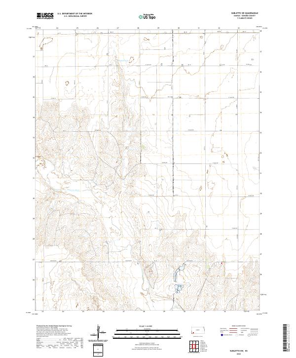
2022 Sublette SW
Seward County, KS
2022 Woods SE
Seward County, KS
2022 Woods
Seward County, KS