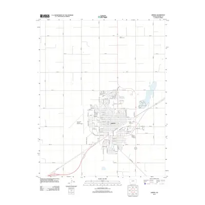
2012 Map of Liberal
USGS Topo · Published 2012About this map
Liberal serves as a critical transportation and educational hub for Seward County in this 2012 survey. The city's infrastructure is anchored by the Union Pacific Railroad Yard on the east side and the expansive Liberal Mid-America Regional Airport to the west. This layout reflects the area's ongoing importance to regional logistics and commerce. Educational and recreational facilities are prominent, including the Seward County Community College and its Area Technical School, alongside local community spaces like the Seward County Fairgrounds Speedway and Willow Tree Golf Course. For genealogists and local historians, the map provides precise locations for both the Liberal Cemetery and the Liberal Memorial Cemetery, offering a detailed record of the community's established landmarks during the early 21st century.
Find a feature on this map
75 named features on this map. Tap any name to fly to it.
Don’t see what you’re looking for? This feature index may not catch every label — zoom into the map to look around manually.
Map Details
Editions of this 2012 Liberal Map
This is the sole edition of this map. No revisions or reprints were ever made.
Other maps of this area

1954 · Perryton
USGS Topo · 1:250,000

1955 · Dodge City
USGS Topo · 1:250,000

1958 · Perryton
USGS Topo · 1:250,000

1958 · Dodge City
USGS Topo · 1:250,000

1959 · Dodge City
USGS Topo · 1:250,000

1967 · Tyrone
USGS Topo · 1:24,000

1968 · Liberal NE
USGS Topo · 1:24,000

1968 · Liberal NW
USGS Topo · 1:24,000

1971 · Liberal
USGS Topo · 1:24,000

1971 · Hayne
USGS Topo · 1:24,000