2021 Map of Liberty
USGS Topo · Published 2021About this map
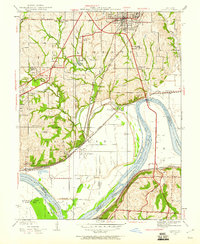
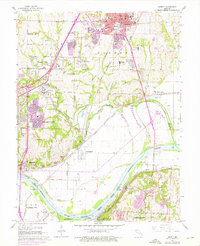
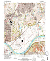
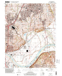
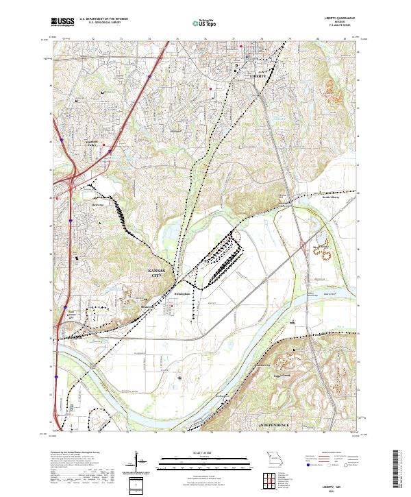
Liberty and its surrounding Clay County landscape are defined by the winding course of the Missouri River and the industrial corridors of the BNSF Railway and Norfolk Southern lines. The heights of Arsenal Hill overlook a complex network of levees and river bends, including Big Blue Bend and the Liberty Bend Bridge. This modern survey reveals the dense settlement patterns of Kansas City and its neighbors like Pleasant Valley and Glenaire, while preserving the location of local burial grounds such as Davidson Cem and Minneville Cem. Cultural landmarks such as William Jewell College and the Clay County Courthouse anchor the historic center of Liberty. Downstream, the industrial character of Cement City and the crossing of the Harry S Truman Bridge illustrate the river's enduring role in regional transportation and commerce.
Find a feature on this map
113 named features on this map. Tap any name to fly to it.
Don’t see what you’re looking for? This feature index may not catch every label — zoom into the map to look around manually.
Map Details
Editions of this 2021 Liberty Map
This is the sole edition of this map. No revisions or reprints were ever made.
Historical Maps of Kansas City Through Time
6 maps found