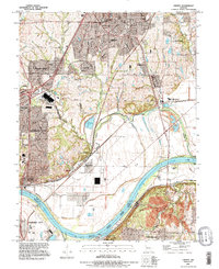
1990 Map of Liberty
USGS Topo · Published 1996About this map
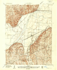
The Missouri River forms the central industrial and geographic axis of this Clay and Jackson County region, marking the boundary between Liberty and Kansas City. The landscape transitions from the urbanized riverbanks at Sugar Creek and Cement City to the rising elevations of the Seven Hills and Arsenal Hill. Significant infrastructure projects, including the Harry S Truman Bridge and the Independence-Liberty Bridge, facilitate transit across the wide river channel near Liberty Bend Bridge.
Find a feature on this map
45 named features on this map. Tap any name to fly to it.
Don’t see what you’re looking for? This feature index may not catch every label — zoom into the map to look around manually.
Map Details
Editions of this 1990 Liberty Map
This is the sole edition of this map. No revisions or reprints were ever made.
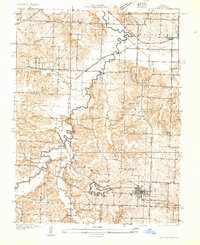
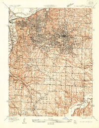
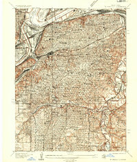
Other maps of this area

1890 · Kansas City
USGS Topo · 1:125,000

1894 · Kansas City
USGS Topo · 1:125,000

1894 · Independence
USGS Topo · 1:125,000

1914 · Smithville
USGS Topo · 1:62,500
1933 · Blue Springs
USGS Topo · 1:24,000
1934 · Independence
USGS Topo · 1:24,000
1935 · Kansas City
USGS Topo · 1:24,000
1935 · Missouri City
USGS Topo · 1:24,000

1935 · North Kansas City
USGS Topo · 1:24,000

1935 · Liberty
USGS Topo · 1:24,000