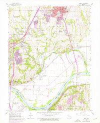
1965 Map of Liberty
USGS Topo · Published 1976About this map
Liberty and its surrounding Clay County landscape are defined by the convergence of the Missouri River and a dense network of railroads during the mid-1960s. The map captures the city's academic and civic heart, anchored by William Jewell College and several historic burial grounds including Fairview Cemetery and New Hope Cemetery. To the south and west, the industrial and commercial expansion of Kansas City is evident, with large facilities like an Assembly Plant near Claycomo and numerous quarries dotting the Gallatin Valley.
Find a feature on this map
64 named features on this map. Tap any name to fly to it.
Don’t see what you’re looking for? This feature index may not catch every label — zoom into the map to look around manually.
Map Details
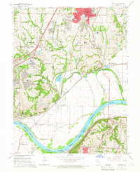
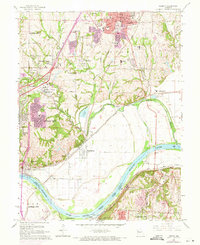
Editions of this 1965 Liberty Map
3 editions found
Other maps of this area

1890 · Kansas City
USGS Topo · 1:125,000

1894 · Kansas City
USGS Topo · 1:125,000

1894 · Independence
USGS Topo · 1:125,000

1914 · Smithville
USGS Topo · 1:62,500

1933 · Blue Springs
USGS Topo · 1:24,000

1934 · Independence
USGS Topo · 1:24,000

1935 · Kansas City
USGS Topo · 1:24,000

1935 · Missouri City
USGS Topo · 1:24,000

1935 · North Kansas City
USGS Topo · 1:24,000

1935 · Liberty
USGS Topo · 1:24,000