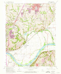
1965 Map of Liberty
USGS Topo · Published 1971About this map
Liberty and its surrounding Clay County landscape show a mix of institutional history and industrial expansion in the mid-1960s. The prominent campus of William Jewell College and the Del Bufalo Seminary overlook the city, while several burial grounds including Fairview Cemetery and the Odd Fellows Home Cem provide important records for local genealogists. The terrain is defined by the winding course of Shoal Creek and the wide bend of the Missouri River to the south, where the industrial character of Cement City and Sugar Creek stands in contrast to the academic and residential areas to the north.
Find a feature on this map
73 named features on this map. Tap any name to fly to it.
Don’t see what you’re looking for? This feature index may not catch every label — zoom into the map to look around manually.
Map Details
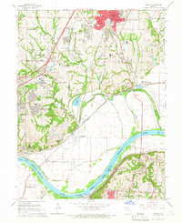
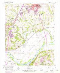
Editions of this 1965 Liberty Map
3 editions found
Other maps of this area

1890 · Kansas City
USGS Topo · 1:125,000

1894 · Kansas City
USGS Topo · 1:125,000

1894 · Independence
USGS Topo · 1:125,000

1914 · Smithville
USGS Topo · 1:62,500

1933 · Blue Springs
USGS Topo · 1:24,000

1934 · Independence
USGS Topo · 1:24,000

1935 · Kansas City
USGS Topo · 1:24,000

1935 · Missouri City
USGS Topo · 1:24,000

1935 · North Kansas City
USGS Topo · 1:24,000

1935 · Liberty
USGS Topo · 1:24,000