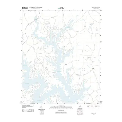
2011 Map of Liberty
USGS Topo · Published 2011About this map
Lake Oconee dominates the landscape of Greene County in this 2011 survey, its branching fingers creating a complex network of points and coves. The settlement of Liberty stands as a focal point in the east, surrounded by a dense distribution of family and community burial grounds that speak to the area's deep genealogical roots. From the Ward Hill Cemetery in the north to the Kimbrough Cemetery further south, these sites are preserved alongside modern residential developments. The infrastructure of the region is defined by winding routes like Linger Longer Rd and Walker Church Rd, which navigate the rugged shoreline. Numerous tributaries, including Sandy Creek, Rocky Creek, and Double Creek, feed into the reservoir, while Fuller Bridge provides a vital crossing over the northern reaches. This map illustrates the intersection of historic land use and contemporary lakeside growth.
Find a feature on this map
59 named features on this map. Tap any name to fly to it.
Don’t see what you’re looking for? This feature index may not catch every label — zoom into the map to look around manually.
Map Details
Editions of this 2011 Liberty Map
This is the sole edition of this map. No revisions or reprints were ever made.
Other maps of this area

1953 · Athens
USGS Topo · 1:250,000

1958 · Athens
USGS Topo · 1:250,000

1959 · Athens
USGS Topo · 1:250,000

1963 · Athens
USGS Topo · 1:250,000

1965 · Union Point
USGS Topo · 1:24,000

1972 · Liberty
USGS Topo · 1:24,000

1972 · Shoulderbone
USGS Topo · 1:24,000

1972 · Meda
USGS Topo · 1:24,000

1972 · Buckhead
USGS Topo · 1:24,000

1972 · Harmony
USGS Topo · 1:24,000