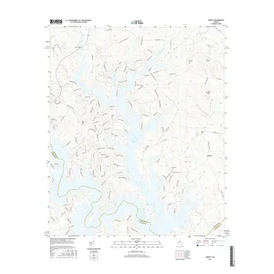
2017 Map of Liberty
USGS Topo · Published 2017About this map
Lake Oconee dominates this landscape, its fingers reaching into the surrounding terrain where Greene and Putnam counties meet. The water has reshaped the local geography, yet many family and community landmarks remain preserved on the higher ground. Genealogists will find a wealth of burial sites, including the Liberty Cem, Old Salem Cem, and Copelan- Credille Cem, alongside several family-named locations such as Rowland Cem and Ward Hill Cem. The map reveals a transition from the established settlement at Liberty to newer lakeside residential developments marked by intricate road networks like Pointe Royal Rd and Fleur De Lac Ln. Notable terrain features such as Hixon's Bluff and Riley Shoals provide a glimpse into the river valley's character before the reservoir's full influence.
Find a feature on this map
133 named features on this map. Tap any name to fly to it.
Don’t see what you’re looking for? This feature index may not catch every label — zoom into the map to look around manually.
Map Details
Editions of this 2017 Liberty Map
This is the sole edition of this map. No revisions or reprints were ever made.
Other maps of this area

1953 · Athens
USGS Topo · 1:250,000

1958 · Athens
USGS Topo · 1:250,000

1959 · Athens
USGS Topo · 1:250,000

1963 · Athens
USGS Topo · 1:250,000

1965 · Union Point
USGS Topo · 1:24,000

1972 · Liberty
USGS Topo · 1:24,000

1972 · Shoulderbone
USGS Topo · 1:24,000

1972 · Meda
USGS Topo · 1:24,000

1972 · Buckhead
USGS Topo · 1:24,000

1972 · Harmony
USGS Topo · 1:24,000