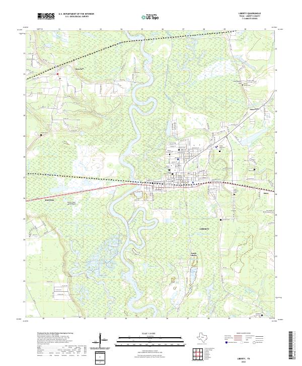
2022 Map of Liberty
USGS Topo · Published 2022About this map
The Trinity River meanders through a complex landscape of wetlands and bayous, anchoring the historic seat of Liberty. This modern topographic survey highlights a transition from the urban core centered at the Liberty County Courthouse to the expansive river bottomlands. The geography is defined by a dense network of water features, including Horseshoe Lake, Twin Lake, and Snag Lake, illustrating the hydrological forces that have shaped settlement patterns in this part of Texas.
Find a feature on this map
147 named features on this map. Tap any name to fly to it.
Don’t see what you’re looking for? This feature index may not catch every label — zoom into the map to look around manually.
Map Details
Editions of this 2022 Liberty Map
This is the sole edition of this map. No revisions or reprints were ever made.
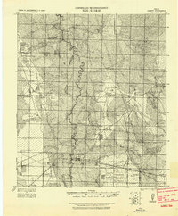
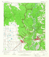
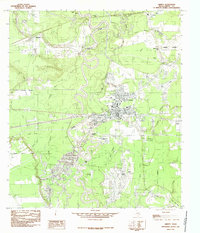
Historical Maps of Dayton Through Time
4 maps found