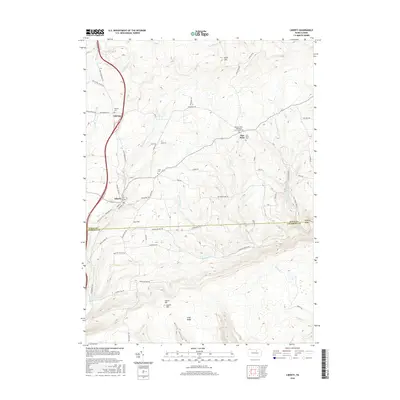
2016 Map of Liberty
USGS Topo · Published 2016About this map
The borough of Liberty anchors this survey of the Tioga and Lycoming county border, where small northern Pennsylvania settlements are connected by a network of rural roads following the narrow valleys. The landscape is defined by the high ridges of Brier Mtn, Laurel Hill, and Jew Hill, with the southern reaches draining through Roaring Br and Frozen Run. A historical dairying or agricultural economy is suggested by the presence of Milk Plant Rd and Creamery St in the vicinity of Liberty. Genealogists will find significant local history in the distribution of family and community burial grounds, including the Old East Point Ebenezer Church Yard Cem and Sebring Cem. The map tracks several key watercourses such as Blockhouse Cr and Little Elk Run as they navigate the deep hollows of the Appalachian Plateau.
Find a feature on this map
58 named features on this map. Tap any name to fly to it.
Don’t see what you’re looking for? This feature index may not catch every label — zoom into the map to look around manually.
Map Details
Editions of this 2016 Liberty Map
This is the sole edition of this map. No revisions or reprints were ever made.
Other maps of this area

1921 · Trout Run
USGS Topo · 1:62,500

1923 · Trout Run
USGS Topo · 1:62,500

1925 · Blossburg
USGS Topo · 1:62,500

1927 · Blossburg
USGS Topo · 1:62,500

1930 · Warrensville
USGS Topo · 1:62,500

1934 · Warrensville
USGS Topo · 1:62,500

1942 · Canton
USGS Topo · 1:62,500

1944 · Blossburg
USGS Topo · 1:62,500

1944 · Trout Run
USGS Topo · 1:62,500

1944 · Canton
USGS Topo · 1:62,500
Featured Places
- Liberty, PA
- Veilstown, Liberty Township
- Henslertown, Liberty Township
- McIntyre Township, PA
- Union Township, PA