1977 Map of Liberty
USGS Topo · Published 1979About this map
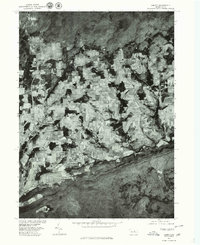
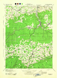
Liberty and the surrounding agricultural uplands are captured in this 1977 orthophotograph, a specialized mapping format that blends aerial photography with topographic precision. Produced in cooperation with the Soil Conservation Service, this imagery reveals the complex mosaic of woodlots and cleared fields characteristic of the Northern Tier of Pennsylvania during the late 1970s. The settlement of Sebring is visible to the north, while East Point anchors the eastern portion of the quadrangle. By utilizing rectified photoimagery rather than traditional line-and-symbol cartography, this sheet offers researchers a granular view of the physical landscape, from individual fence lines to the precise contours of the local farmsteads.
Find a feature on this map
3 named features on this map. Tap any name to fly to it.
Don’t see what you’re looking for? This feature index may not catch every label — zoom into the map to look around manually.
Map Details
Editions of this 1977 Liberty Map
This is the sole edition of this map. No revisions or reprints were ever made.
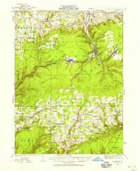
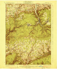
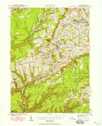
Other maps of this area

1921 · Trout Run
USGS Topo · 1:62,500

1923 · Trout Run
USGS Topo · 1:62,500
1925 · Blossburg
USGS Topo · 1:62,500
1927 · Blossburg
USGS Topo · 1:62,500

1930 · Warrensville
USGS Topo · 1:62,500

1934 · Warrensville
USGS Topo · 1:62,500
1942 · Canton
USGS Topo · 1:62,500
1944 · Blossburg
USGS Topo · 1:62,500

1944 · Trout Run
USGS Topo · 1:62,500

1944 · Canton
USGS Topo · 1:62,500
Featured Places
- Liberty, PA
- Veilstown, Liberty Township
- Union Township, PA
- House Landing Strip, Liberty Township
- Jackson Township, PA