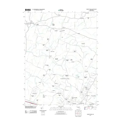
2011 Map of Libertytown
USGS Topo · Published 2011About this map
Libertytown and Unionville serve as central points for this rural Maryland landscape, where small crossroads settlements and family farms are interspersed with a dense network of local creeks. The geography is defined by the branching waterways of Linganore Creek, including its north and south forks, which move through a mosaic of residential developments and agricultural holdings. Local history is anchored by sites like Saint Peters Cemetery and the Linganore Chapel Cemetery, while the presence of the Libertytown Post Office and Unionville Post Office indicates the established civic core of these communities.
Find a feature on this map
133 named features on this map. Tap any name to fly to it.
Don’t see what you’re looking for? This feature index may not catch every label — zoom into the map to look around manually.
Map Details
Editions of this 2011 Libertytown Map
This is the sole edition of this map. No revisions or reprints were ever made.
Other maps of this area

1893 · Frederick
USGS Topo · 1:125,000

1894 · Frederick
USGS Topo · 1:125,000

1908 · Ijamsville
USGS Topo · 1:62,500

1909 · Mount Airy
USGS Topo · 1:62,500

1909 · Ijamsville
USGS Topo · 1:62,500

1911 · Taneytown
USGS Topo · 1:62,500

1911 · Emmitsburg
USGS Topo · 1:62,500

1942 · Frederick
USGS Topo · 1:62,500

1942 · Gettysburg
USGS Topo · 1:125,000

1943 · Emmitsburg
USGS Topo · 1:62,500