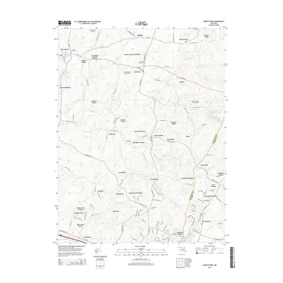
2014 Map of Libertytown
USGS Topo · Published 2014About this map
Unionville and Libertytown anchor this rural landscape in Frederick and Carroll counties, where the Piedmont terrain transitions from the rolling fields of the west toward the prominence of Parrs Ridge. The map shows a region defined by its agricultural roots and expanding residential communities, with many small estates and named properties like Bessie Clemson Heights and Glisson Place dotting the hillsides. Significant genealogical markers are found at several historic burial grounds, including the Linganore Chapel Cem and Saint Peters Cem.
Find a feature on this map
127 named features on this map. Tap any name to fly to it.
Don’t see what you’re looking for? This feature index may not catch every label — zoom into the map to look around manually.
Map Details
Editions of this 2014 Libertytown Map
This is the sole edition of this map. No revisions or reprints were ever made.
Other maps of this area

1893 · Frederick
USGS Topo · 1:125,000

1894 · Frederick
USGS Topo · 1:125,000

1908 · Ijamsville
USGS Topo · 1:62,500

1909 · Mount Airy
USGS Topo · 1:62,500

1909 · Ijamsville
USGS Topo · 1:62,500

1911 · Taneytown
USGS Topo · 1:62,500

1911 · Emmitsburg
USGS Topo · 1:62,500

1942 · Frederick
USGS Topo · 1:62,500

1942 · Gettysburg
USGS Topo · 1:125,000

1943 · Emmitsburg
USGS Topo · 1:62,500