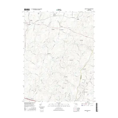
2016 Map of Libertytown
USGS Topo · Published 2016About this map
The rolling piedmont of central Maryland is defined by the branching tributaries of Linganore Cr, where small settlements and rural homesteads have persisted for generations. In the northwest corner, the community of Libertytown sits at a crossroads near Saint Peter the Apostle Catholic Cem, while Unionville and Woodville anchor the central rural landscape. The topography is shaped by the elevation of Parrs Ridge in the southeast, a prominent height of land that separates drainage basins. Small private airfields like Good Neighbor Farm Airport and Happy Landings Farm Airport indicate the modern agricultural and recreational character of the area. This 2016 survey also documents numerous family and community landmarks, including Locust Grove Cem and Mount Prospect Cem, which offer significant value for genealogical research across the Frederick and Carroll County line.
Find a feature on this map
50 named features on this map. Tap any name to fly to it.
Don’t see what you’re looking for? This feature index may not catch every label — zoom into the map to look around manually.
Map Details
Editions of this 2016 Libertytown Map
This is the sole edition of this map. No revisions or reprints were ever made.
Other maps of this area

1893 · Frederick
USGS Topo · 1:125,000

1894 · Frederick
USGS Topo · 1:125,000

1908 · Ijamsville
USGS Topo · 1:62,500

1909 · Mount Airy
USGS Topo · 1:62,500

1909 · Ijamsville
USGS Topo · 1:62,500

1911 · Taneytown
USGS Topo · 1:62,500

1911 · Emmitsburg
USGS Topo · 1:62,500

1942 · Frederick
USGS Topo · 1:62,500

1942 · Gettysburg
USGS Topo · 1:125,000

1943 · Emmitsburg
USGS Topo · 1:62,500