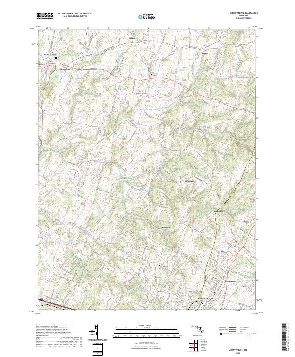
2023 Map of Libertytown
USGS Topo · Published 2023About this map
Libertytown sits at the western edge of this 2023 survey, serving as a historic hub where Liberty Rd and Green Valley Rd intersect. The landscape is defined by the branching network of Linganore Creek, including its North and South forks, which carve through the terrain toward the Frederick and Carroll County line. This modern topographic study reveals a mix of agricultural heritage and residential growth, punctuated by significant local landmarks such as Good Neighbor Farm Airport and several historic burial grounds including Locust Grove Cem and Linganore Chapel Cem. To the southeast, the northern reaches of Mount Airy begin to appear, connected by a network of rural routes like Woodville Rd and Harrisville Rd that link smaller settlements such as Woodville and Harrisville.
Find a feature on this map
108 named features on this map. Tap any name to fly to it.
Don’t see what you’re looking for? This feature index may not catch every label — zoom into the map to look around manually.
Map Details
Editions of this 2023 Libertytown Map
This is the sole edition of this map. No revisions or reprints were ever made.
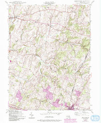
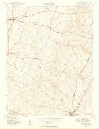
Historical Maps of Paloma Villa Through Time
3 maps found