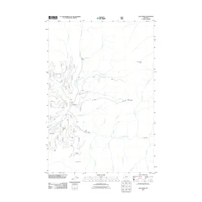
2011 Map of Lick Creek
USGS Topo · Published 2011About this map
Martin Creek Campground and the Sula Rural Fire Dist Sta 2 serve as localized hubs within this drainage basin of the East Fork Bitterroot River. The landscape is defined by its complex network of tributaries, including Moose Creek, Lick Creek, and Clifford Creek, which flow through a topography marked by distinctive landforms like Hole in the Wall and the Lick Creek Saddle.
Find a feature on this map
31 named features on this map. Tap any name to fly to it.
Don’t see what you’re looking for? This feature index may not catch every label — zoom into the map to look around manually.
Map Details
Editions of this 2011 Lick Creek Map
This is the sole edition of this map. No revisions or reprints were ever made.
Other maps of this area

1909 · Sapphire
USGS Topo · 1:125,000

1947 · Butte
USGS Topo · 1:250,000

1955 · Dillon
USGS Topo · 1:250,000

1957 · Dillon
USGS Topo · 1:250,000

1958 · Butte
USGS Topo · 1:250,000

1958 · Dillon
USGS Topo · 1:250,000

1960 · Butte
USGS Topo · 1:250,000

1962 · Butte
USGS Topo · 1:250,000

1962 · Dillon
USGS Topo · 1:250,000

1965 · Dillon
USGS Topo · 1:250,000