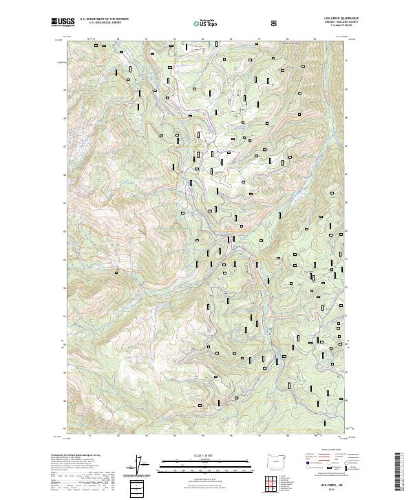
2024 Map of Lick Creek
USGS Topo · Published 2024About this map
Wallowa National Forest dominates this high-elevation landscape, where the Imnaha Divide and Wing Ridge separate numerous drainage basins. The presence of the Wallowa Valley Improvement Canal snaking through the center of the map indicates the region's historical reliance on managed water systems to support lower-elevation agriculture and development.
Find a feature on this map
51 named features on this map. Tap any name to fly to it.
Don’t see what you’re looking for? This feature index may not catch every label — zoom into the map to look around manually.
Map Details
Editions of this 2024 Lick Creek Map
This is the sole edition of this map. No revisions or reprints were ever made.
Other maps of this area

1954 · Cornucopia
USGS Topo · 1:62,500

1954 · Harl Butte
USGS Topo · 1:62,500

1955 · Grangeville
USGS Topo · 1:250,000

1957 · Joseph
USGS Topo · 1:62,500

1957 · Homestead
USGS Topo · 1:62,500

1959 · Grangeville
USGS Topo · 1:250,000

1986 · Enterprise
USGS Topo · 1:100,000

1987 · Riggins
USGS Topo · 1:100,000
1990 · Deadman Point
USGS Topo · 1:24,000
1990 · Gumboot Butte
USGS Topo · 1:24,000