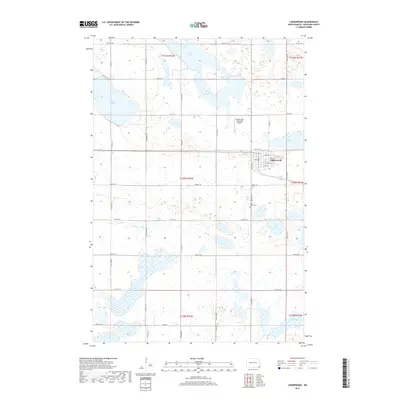
2017 Map of Lidgerwood
USGS Topo · Published 2017About this map
Lidgerwood serves as the primary hub in this portion of Richland County, established at the junction of organized section lines and early regional transport. The town's grid is centered around Park St E and numbered streets, while the Lidgerwood Municipal Airport to the north signals its ongoing role as a local center for aviation and agriculture. The landscape is defined by its numerous glacial depressions, resulting in a dense concentration of water bodies including Silver Lake, Grass Lake, and Bisek Lake. Cultural history is anchored by the presence of Bohemian Cem and Saint Johns Cem southeast of the town center, marking the community foundations of early European settlers in the North Dakota prairie. To the south and east, Wahl Lake and Elm Lake punctuate a terrain heavily partitioned by section roads like 96th St SE, reflecting the rigid township and range surveying system.
Find a feature on this map
29 named features on this map. Tap any name to fly to it.
Don’t see what you’re looking for? This feature index may not catch every label — zoom into the map to look around manually.
Map Details
Editions of this 2017 Lidgerwood Map
This is the sole edition of this map. No revisions or reprints were ever made.
Other maps of this area

1907 · Wyndmere
USGS Topo · 1:125,000

1953 · Milbank
USGS Topo · 1:250,000

1953 · Fargo
USGS Topo · 1:250,000

1956 · Fargo
USGS Topo · 1:250,000

1958 · Milbank
USGS Topo · 1:250,000

1958 · Veblen NE
USGS Topo · 1:24,000

1958 · Hamlin
USGS Topo · 1:24,000

1958 · Geneseo
USGS Topo · 1:24,000

1964 · Kreiser Lake
USGS Topo · 1:24,000

1964 · Moselle
USGS Topo · 1:24,000