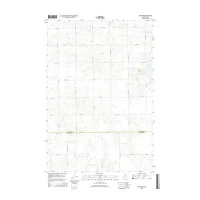
2014 Map of Liens Dams
USGS Topo · Published 2014About this map
Liens Dams sits at the center of this 2014 survey, where the rugged drainages of the Missouri Plateau shape the agricultural grid of southwestern North Dakota. The map captures the boundary line between Hettinger Co and Adams Co along Havelock Rd, a critical east-west corridor in this sparsely populated prairie landscape. Water management is a central theme, evidenced by the network of small creeks including Tepee Cr and Indian Cr that carve through the undulating terrain. The road network, comprising numeric routes like 111th Ave SW and local landmarks like Three Mile Bridge Rd, illustrates the section-line planning typical of the Great Plains. To the south, the Chanta Peta Cr basin reveals the natural drainage patterns that have dictated ranching and farming boundaries for generations in this part of the state.
Find a feature on this map
25 named features on this map. Tap any name to fly to it.
Don’t see what you’re looking for? This feature index may not catch every label — zoom into the map to look around manually.
Map Details
Editions of this 2014 Liens Dams Map
This is the sole edition of this map. No revisions or reprints were ever made.
Other maps of this area

1953 · Dickinson
USGS Topo · 1:250,000

1957 · Dickinson
USGS Topo · 1:250,000

1966 · Regent
USGS Topo · 1:24,000

1973 · Liens Dams
USGS Topo · 1:24,000

1973 · Jung Lake
USGS Topo · 1:24,000

1973 · Havelock
USGS Topo · 1:24,000

1973 · Enterprise School
USGS Topo · 1:24,000

1973 · Abbey Hill
USGS Topo · 1:24,000

1980 · Mott
USGS Topo · 1:100,000
2011 · Enterprise School
USGS Topo · 1:24,000