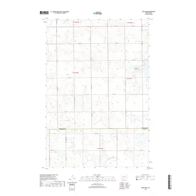
2018 Map of Liens Dams
USGS Topo · Published 2018About this map
Liens Dams and the surrounding prairie terrain define this portion of the North Dakota landscape along the border of Hettinger and Adams counties. The drainage patterns are clearly visible, with Tepee Cr winding through the northern sections and Chanta Peta Cr flowing through the southern reaches. This modern survey reflects the organized section lines of the Public Land Survey System, which dictate the placement of local thoroughfares like Havelock Rd and Three Mile Bridge Rd. The area is characterized by these rural roads and agricultural plots, typical of the Great Plains ranching and farming economy. A specific water management focus is evident near the eastern edge where Indian Cr Dam Rd provides access to the reservoirs and tributaries of Indian Cr.
Find a feature on this map
31 named features on this map. Tap any name to fly to it.
Don’t see what you’re looking for? This feature index may not catch every label — zoom into the map to look around manually.
Map Details
Editions of this 2018 Liens Dams Map
This is the sole edition of this map. No revisions or reprints were ever made.
Other maps of this area

1953 · Dickinson
USGS Topo · 1:250,000

1957 · Dickinson
USGS Topo · 1:250,000

1966 · Regent
USGS Topo · 1:24,000

1973 · Liens Dams
USGS Topo · 1:24,000

1973 · Jung Lake
USGS Topo · 1:24,000

1973 · Havelock
USGS Topo · 1:24,000

1973 · Enterprise School
USGS Topo · 1:24,000

1973 · Abbey Hill
USGS Topo · 1:24,000

1980 · Mott
USGS Topo · 1:100,000
2011 · Enterprise School
USGS Topo · 1:24,000