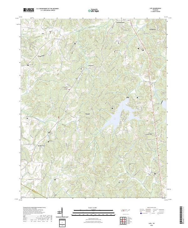
2022 Map of Life
USGS Topo · Published 2022About this map
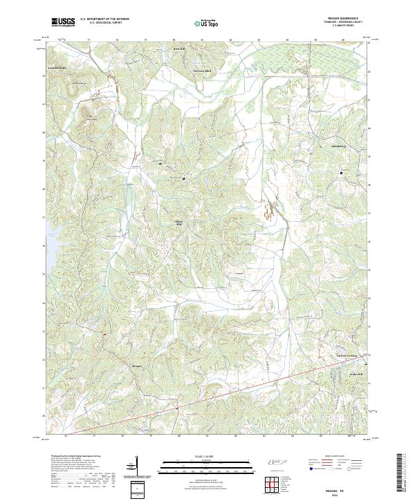
Tennessee Valley Divide snakes across this West Tennessee landscape, separating the drainage systems in a region defined by its dense network of small family cemeteries and crossroads communities. The terrain is deeply etched by watercourses such as Wolf Cr and the Beech River, which flow near established settlements like Palestine and Center Hill. This survey provides significant detail for genealogists, documenting numerous burial sites including the County Farm Cem, Mullins Cemetery, and Old Big Springs Cem.
Find a feature on this map
104 named features on this map. Tap any name to fly to it.
Don’t see what you’re looking for? This feature index may not catch every label — zoom into the map to look around manually.
Map Details
Editions of this 2022 Life Map
This is the sole edition of this map. No revisions or reprints were ever made.
Historical Maps of Middle Fork Through Time
10 maps found
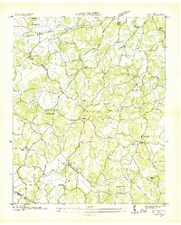
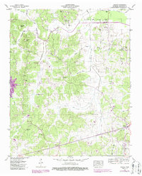
1936 Life
Henderson County, TN
1936 Reagan
Henderson County, TN
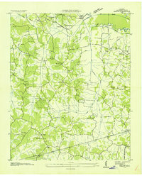
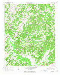
1950 Life
Henderson County, TN
1950 Reagan
Henderson County, TN

1955 Juno
Henderson County, TN
1966 Cedar Grove
Henderson County, TN
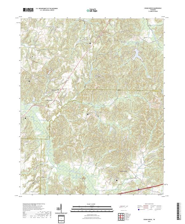
2022 Cedar Grove
Henderson County, TN
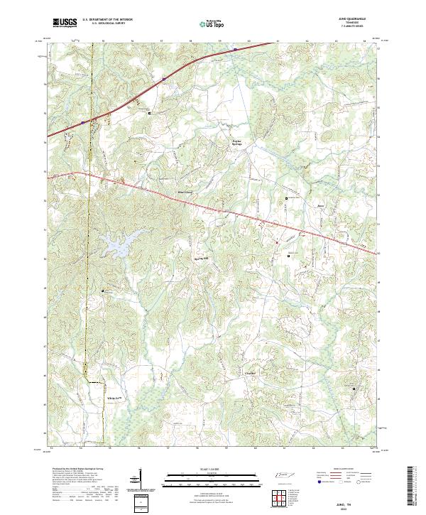
2022 Juno
Henderson County, TN
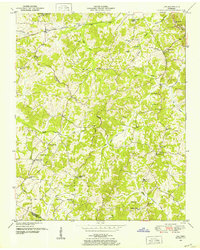
2022 Life
Henderson County, TN
2022 Reagan
Henderson County, TN