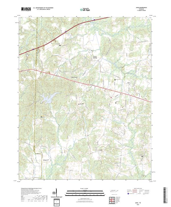
2022 Map of Juno
USGS Topo · Published 2022About this map
Poplar Springs and Blue Goose anchor a landscape defined by the intricate hydrology of the Middle Fork Forked Deer River and North Fork Forked Deer River. This section of West Tennessee along the Madison and Henderson county line is characterized by a high density of local cemeteries and small, scattered settlements that speak to its deep agricultural and family heritage. Genealogists will find interest in several historic burial grounds, including Union Grove Cem, Independence Cem, and Anderson Cem. The terrain is deeply etched by a network of local branches and creeks such as Spencer Creek, Gurley Creek, and McHaney Branch, which feed into the primary river forks. These waterways, coupled with a dense grid of named rural roads like Poplar Springs Bargerton Road, illustrate the persistent settlement patterns in this rural corridor between Jackson and Lexington.
Find a feature on this map
89 named features on this map. Tap any name to fly to it.
Don’t see what you’re looking for? This feature index may not catch every label — zoom into the map to look around manually.
Map Details
Editions of this 2022 Juno Map
This is the sole edition of this map. No revisions or reprints were ever made.
Other maps of this area

1936 · Clarksburg
USGS Topo · 1:24,000

1936 · Lexington
USGS Topo · 1:24,000

1936 · Life
USGS Topo · 1:24,000

1950 · Life
USGS Topo · 1:24,000

1950 · Lexington
USGS Topo · 1:24,000

1950 · Clarksburg
USGS Topo · 1:24,000

1953 · Claybrook
USGS Topo · 1:24,000

1953 · Beech Bluff
USGS Topo · 1:24,000

1955 · Luray
USGS Topo · 1:24,000

1955 · Juno
USGS Topo · 1:24,000