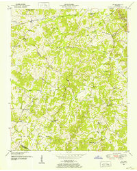
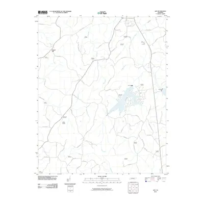
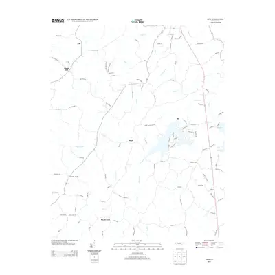
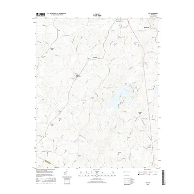
1950 Map of Reagan
USGS Topo · Published 1987About this map
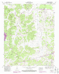
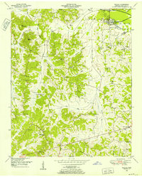
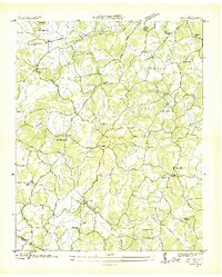
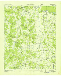
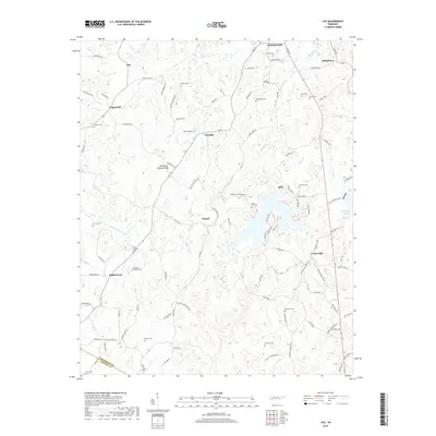
Reagan and the surrounding rural communities of Henderson County define this landscape as it appeared at mid-century, transitioning from the high ridges of Big Pine Knob down to the floodplains of the Beech River. The map documents a strictly agricultural and forest-based economy, characterized by numerous small churches and family burial grounds like Judson Church, Mount Gilead Cem, and Ridley Chapel. A notable piece of transportation history is the Old RR Grade visible in the northern portion of the sheet near Warrens Bluff, showing the path of a decommissioned rail line that once connected these uplands. Drainage and flood control are central to the terrain, evidenced by the Lost Creek Dam and a series of canals and gaging stations along Cane Creek and the Beech River sloughs. These features reflect the 1950s efforts by the Tennessee Valley Authority to manage the local watershed through the TVA Reservation.
Find a feature on this map
50 named features on this map. Tap any name to fly to it.
Don’t see what you’re looking for? This feature index may not catch every label — zoom into the map to look around manually.
Map Details
Editions of this 1950 Reagan Map
2 editions found
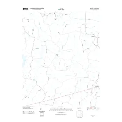
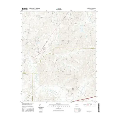
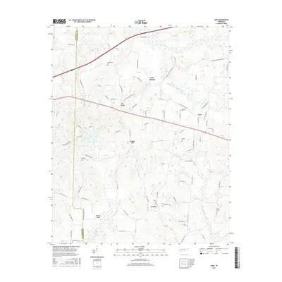
Historical Maps of Lexington Through Time
26 maps found
1936 Life
Henderson County, TN
1936 Reagan
Henderson County, TN
1950 Life
Henderson County, TN
1950 Reagan
Henderson County, TN

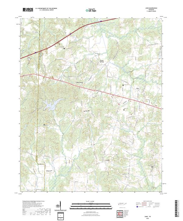
1955 Juno
Henderson County, TN
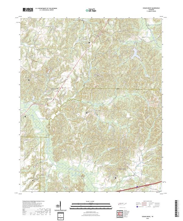
1966 Cedar Grove
Henderson County, TN
2010 Cedar Grove
Henderson County, TN
2010 Juno
Henderson County, TN
2010 Life
Henderson County, TN
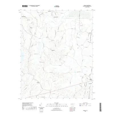
2010 Reagan
Henderson County, TN
2013 Cedar Grove
Henderson County, TN
2013 Juno
Henderson County, TN
2013 Life
Henderson County, TN
2013 Reagan
Henderson County, TN
2016 Cedar Grove
Henderson County, TN
2016 Juno
Henderson County, TN
2016 Life
Henderson County, TN
2016 Reagan
Henderson County, TN
2019 Cedar Grove
Henderson County, TN
2019 Juno
Henderson County, TN
2019 Life
Henderson County, TN
2019 Reagan
Henderson County, TN
2022 Cedar Grove
Henderson County, TN
2022 Juno
Henderson County, TN
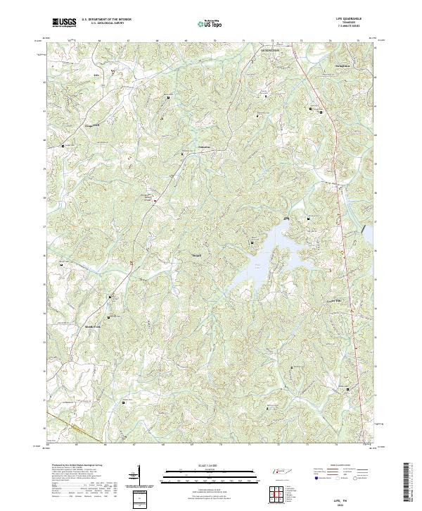
2022 Life
Henderson County, TN
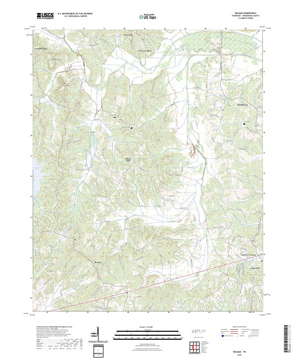
2022 Reagan
Henderson County, TN