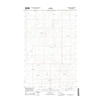
2014 Map of Lighthouse Hill
USGS Topo · Published 2014About this map
The international border between the United States and Canada defines the northern edge of this high plains landscape in Valley County. The terrain is characterized by a complex network of drainage systems, including Line Coulee in the north and Chambers Coulee further south. These geographical features, along with First Coulee, direct seasonal runoff toward Rock Creek and South Creek.
Find a feature on this map
20 named features on this map. Tap any name to fly to it.
Don’t see what you’re looking for? This feature index may not catch every label — zoom into the map to look around manually.
Map Details
Editions of this 2014 Lighthouse Hill Map
This is the sole edition of this map. No revisions or reprints were ever made.
Other maps of this area

1919 · Boundary
USGS Topo · 1:125,000

1954 · Glasgow
USGS Topo · 1:250,000

1957 · Glasgow
USGS Topo · 1:250,000

1958 · Glasgow
USGS Topo · 1:250,000

1984 · Lighthouse Hill
USGS Topo · 1:24,000

1984 · Opheim
USGS Topo · 1:100,000

1984 · Dodge Reservoir
USGS Topo · 1:24,000

1984 · Last Chance Reservoir
USGS Topo · 1:24,000
1984 · Coal Mine Creek West
USGS Topo · 1:24,000
1984 · Thoeny
USGS Topo · 1:24,000