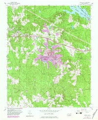
1956 Map of Lilesville
USGS Topo · Published 1983About this map
Lilesville sits at the heart of this survey, a landscape defined by the heavy infrastructure of the Seaboard Coast Line railroad and the hydroelectric industry along the Pee Dee River. The eastern boundary is dominated by Blewett Falls Lake, where the river’s power is harnessed near the Powerhouse and Big Island. This 1956 map, updated with 1982 photorevisions, reveals a significant footprint of extractive industry, specifically the large Tailings and Tailings Ponds south of town, suggesting the area's geological and economic character.
Find a feature on this map
34 named features on this map. Tap any name to fly to it.
Don’t see what you’re looking for? This feature index may not catch every label — zoom into the map to look around manually.
Map Details
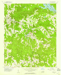
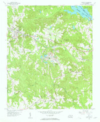
Editions of this 1956 Lilesville Map
3 editions found
Other maps of this area

1941 · Spartanburg
USGS Topo · 1:250,000

1942 · Troy
USGS Topo · 1:125,000

1942 · Rockingham
USGS Topo · 1:125,000

1953 · Florence
USGS Topo · 1:250,000

1953 · Raleigh
USGS Topo · 1:250,000

1953 · Spartanburg
USGS Topo · 1:250,000

1953 · Charlotte
USGS Topo · 1:250,000

1954 · Charlotte
USGS Topo · 1:250,000

1954 · Florence
USGS Topo · 1:250,000

1954 · Raleigh
USGS Topo · 1:250,000