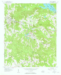
1956 Map of Lilesville
USGS Topo · Published 1957About this map
Lilesville sits at the heart of this mid-1950s survey of Anson County, North Carolina, where the landscape is defined by the Seaboard Air Line railway and the vast waters of Blewett Falls Lake. The eastern edge of the map is dominated by the Pee Dee River, which marks the boundary with Richmond County. Rural life in this era is clearly documented through a dense network of community landmarks, including Henry Grove Sch and numerous country churches such as Gum Springs Ch and Forestville Zion Ch. A significant Strip Mine and a local Landing Strip reflect the mid-century industrial and transport developments near the center of the quadrangle. Further south, smaller communities like Cairo and Flat Rock appear alongside Jones Creek, providing essential detail for those tracing the family-named schools and cemeteries that anchored these rural neighborhoods before modern consolidation.
Find a feature on this map
40 named features on this map. Tap any name to fly to it.
Don’t see what you’re looking for? This feature index may not catch every label — zoom into the map to look around manually.
Map Details
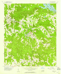
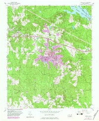
Editions of this 1956 Lilesville Map
3 editions found
Other maps of this area

1941 · Spartanburg
USGS Topo · 1:250,000

1942 · Troy
USGS Topo · 1:125,000

1942 · Rockingham
USGS Topo · 1:125,000

1953 · Florence
USGS Topo · 1:250,000

1953 · Raleigh
USGS Topo · 1:250,000

1953 · Spartanburg
USGS Topo · 1:250,000

1953 · Charlotte
USGS Topo · 1:250,000

1954 · Charlotte
USGS Topo · 1:250,000

1954 · Florence
USGS Topo · 1:250,000

1954 · Raleigh
USGS Topo · 1:250,000