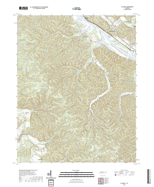
2022 Map of Lillamay
USGS Topo · Published 2022About this map
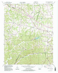
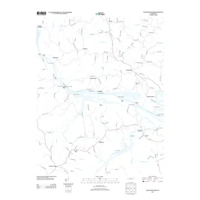
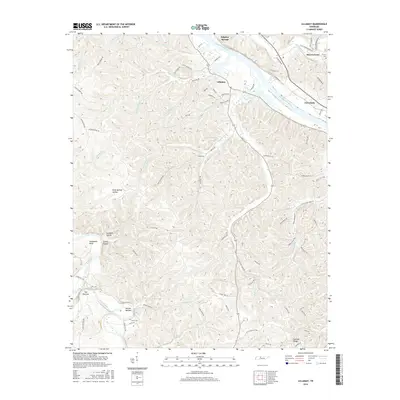
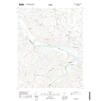
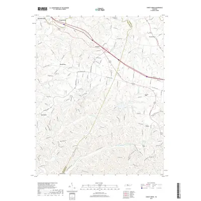
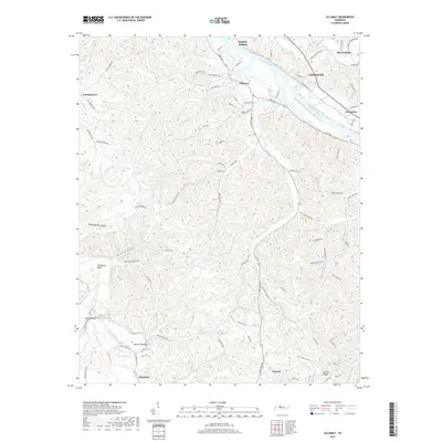
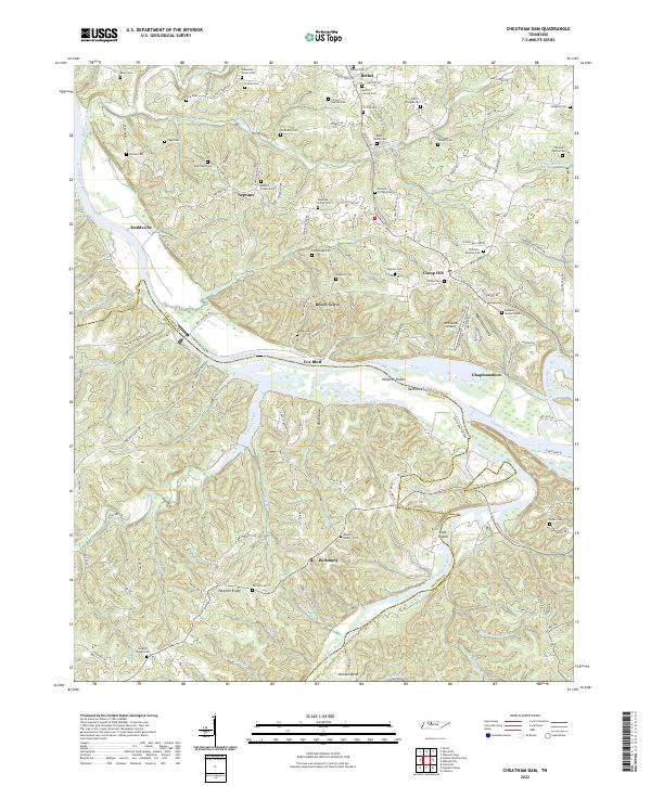
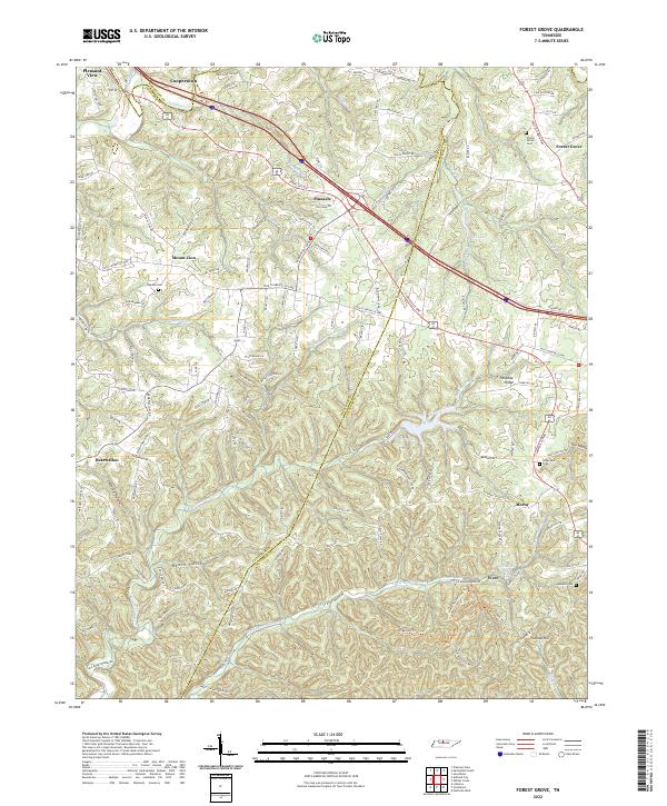
The Cumberland River and the winding Harpeth River define the terrain of this Cheatham County landscape, where deep hollows and high ridges dictate the local settlement patterns. Significant geological and cultural landmarks are visible along the river's path, most notably at the sharp oxbow of Horseshoe Bend and the prehistoric site of Mound Bottom. This area, managed in part by the U.S. Geological Survey, retains its rural character through small communities like Lillamay and Shacklett. Genealogists will find the locations of Scott Cem and Carney Cem particularly useful for tracing family roots in the vicinity of Ashland City. The topography is marked by numerous named drainages such as Sams Creek and Marrowbone Cr, which carve through the Sullivan Ridge area. The road network, including Old Sams Creek Rd and River Rd, follows the natural contours of the land, connecting the various gaps and springs that have sustained these communities for generations.
Find a feature on this map
101 named features on this map. Tap any name to fly to it.
Don’t see what you’re looking for? This feature index may not catch every label — zoom into the map to look around manually.
Map Details
Editions of this 2022 Lillamay Map
This is the sole edition of this map. No revisions or reprints were ever made.
Historical Maps of Nashville Through Time
19 maps found
1955 Forest Grove
Cheatham County, TN
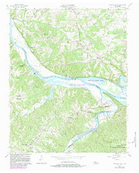
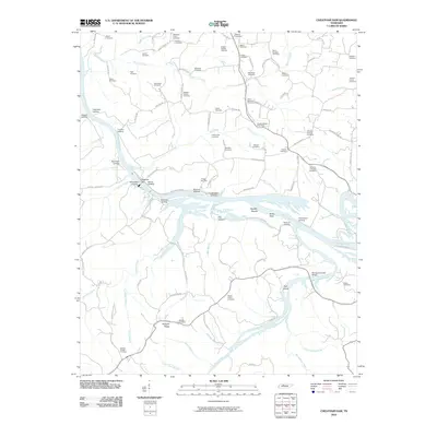
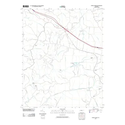
1957 Cheatham Dam
Cheatham County, TN
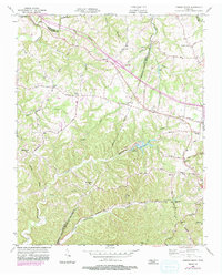
1966 Lillamay
Cheatham County, TN
1994 Forest Grove
Cheatham County, TN
2010 Cheatham Dam
Cheatham County, TN
2010 Forest Grove
Cheatham County, TN
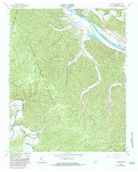
2010 Lillamay
Cheatham County, TN
2013 Cheatham Dam
Cheatham County, TN
2013 Forest Grove
Cheatham County, TN

2013 Lillamay
Cheatham County, TN
2016 Cheatham Dam
Cheatham County, TN
2016 Forest Grove
Cheatham County, TN
2016 Lillamay
Cheatham County, TN
2019 Cheatham Dam
Cheatham County, TN
2019 Forest Grove
Cheatham County, TN
2019 Lillamay
Cheatham County, TN
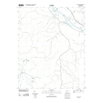
2022 Cheatham Dam
Cheatham County, TN
2022 Forest Grove
Cheatham County, TN
2022 Lillamay
Cheatham County, TN