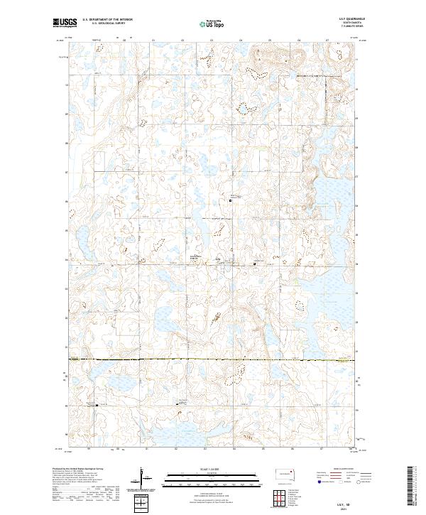
2021 Map of Lily
USGS Topo · Published 2021About this map
Lily stands as the central hub of this agricultural landscape, situated atop the distinctive Coteau des Prairies highland. The map reveals a community deeply rooted in its local heritage, evidenced by a high concentration of spiritual and memorial sites such as Hillside Cem and Saint Joseph's Catholic Cem. This 2021 record highlights the geographical intersection of Day County and Clark County, where the transition between township lines like t120n r57w and t119n r57w is marked by a network of sectional roads. The terrain is defined by its numerous glacial potholes and significant water bodies, including Horseshoe Lake, Long Lake, and Cottonwood Lake. For those researching Lutheran genealogy, the presence of both Our Saviors Lutheran West Cem and Our Saviors Lutheran East Cem provides a specific point of reference for family histories and early settlement patterns in this part of South Dakota.
Find a feature on this map
41 named features on this map. Tap any name to fly to it.
Don’t see what you’re looking for? This feature index may not catch every label — zoom into the map to look around manually.
Map Details
Editions of this 2021 Lily Map
This is the sole edition of this map. No revisions or reprints were ever made.
Other maps of this area

1953 · Milbank
USGS Topo · 1:250,000

1958 · Milbank
USGS Topo · 1:250,000

1973 · Lily
USGS Topo · 1:24,000

1973 · Webster
USGS Topo · 1:24,000

1973 · Bristol West
USGS Topo · 1:24,000

1973 · Swan Lake
USGS Topo · 1:24,000

1973 · Bradley
USGS Topo · 1:24,000

1973 · Lone Tree Lake
USGS Topo · 1:24,000

1973 · Bristol East
USGS Topo · 1:24,000

1973 · Heggs Lake
USGS Topo · 1:24,000