Loading...
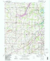
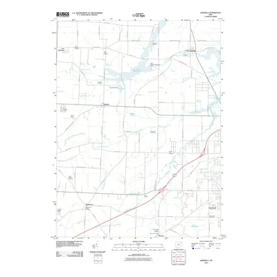
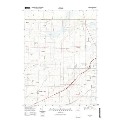
Loading map...1960 Map of Limaville
USGS Topo · Published 1978About this map
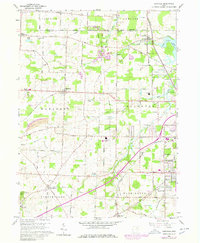
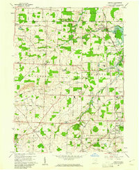
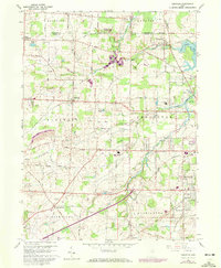
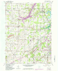
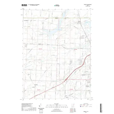
Limaville and Marlboro anchor this northeast Ohio landscape as it appeared during a period of transition in the late twentieth century. The map captures the meeting point of Portage Co and Stark Co, where rural agricultural lands are bisected by industrial corridors. A notable feature of this era is the presence of a Pipeline (Coal) running north-south through Lexington, illustrating the region's historical role in energy transport.
Find a feature on this map
89 named features on this map. Tap any name to fly to it.
Don’t see what you’re looking for? This feature index may not catch every label — zoom into the map to look around manually.
Map Details
Date Portrayed1960
Date Published1978
PublisherU.S. Geological Survey
Map TypeTopographic
Scale1:24,000
Physical Dimensions22.1 x 26.9 inches
Editions of this 1960 Limaville Map
4 editions found
Historical Maps of Alliance Through Time
7 maps found
Featured Locations
Source Details
SourceU.S. Geological Survey
CopyrightPublic Domain