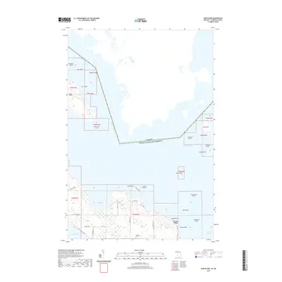
2019 Map of Lime Island
USGS Topo · Published 2019About this map
De Tour Village stands at the eastern edge of Michigan’s Upper Peninsula, overlooking the strategic maritime corridor of the Saint Marys River. This 2019 survey captures the island-dotted landscape where the river meets Potagannissing Bay and the De Tour Passage. The map reveals a complex archipelago including Lime Island, Cass Island, and the Pipe Island Twins, marking the international boundary between the United States and Canada. On the mainland, the grid of De Tour Village is documented alongside local landmarks like Sacred Heart Cem and the residential area of Cedar Shores. The road network, including E Old North Rd and S Spring Bay Rd, provides a modern view of the access points to the shoreline and inland waters like Caribou Lake.
Find a feature on this map
43 named features on this map. Tap any name to fly to it.
Don’t see what you’re looking for? This feature index may not catch every label — zoom into the map to look around manually.
Map Details
Editions of this 2019 Lime Island Map
This is the sole edition of this map. No revisions or reprints were ever made.
Other maps of this area

1953 · Munuscong NE
USGS Topo · 1:24,000

1954 · Alpena
USGS Topo · 1:250,000

1954 · Sault Sainte Marie
USGS Topo · 1:250,000

1955 · Cheboygan
USGS Topo · 1:250,000

1956 · Sault Sainte Marie
USGS Topo · 1:250,000

1957 · Alpena
USGS Topo · 1:250,000

1957 · Sault Sainte Marie
USGS Topo · 1:250,000

1958 · Cheboygan
USGS Topo · 1:250,000

1958 · Alpena
USGS Topo · 1:250,000

1958 · Sault Sainte Marie
USGS Topo · 1:250,000