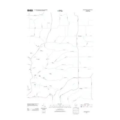
2013 Map of Lime Ridge
USGS Topo · Published 2013About this map
Agricultural traditions in southern Wisconsin are vividly detailed in this 2013 survey, which documents an intricate landscape of specialized family-named farms and stock operations. The terrain is shaped by the winding courses of Willow Cr and Bear Cr, creating pockets of level land for various enterprises such as the Fairview Grain and Hop Farm and the Larch Fruit Farm. The settlement pattern centers on small communities like Lime Ridge, Loyd, and Sandusky, connected by a network of rural routes and state roads.
Find a feature on this map
71 named features on this map. Tap any name to fly to it.
Don’t see what you’re looking for? This feature index may not catch every label — zoom into the map to look around manually.
Map Details
Editions of this 2013 Lime Ridge Map
This is the sole edition of this map. No revisions or reprints were ever made.
Other maps of this area

1905 · Richland Center
USGS Topo · 1:125,000

1927 · Hillsboro
USGS Topo · 1:62,500

1956 · Reedsburg
USGS Topo · 1:62,500

1958 · La Crosse
USGS Topo · 1:250,000

1960 · Richland Center
USGS Topo · 1:62,500

1960 · Plain
USGS Topo · 1:62,500

1961 · La Crosse
USGS Topo · 1:250,000

1965 · La Crosse
USGS Topo · 1:250,000

1966 · Hillsboro
USGS Topo · 1:62,500
1975 · Reedsburg West
USGS Topo · 1:24,000