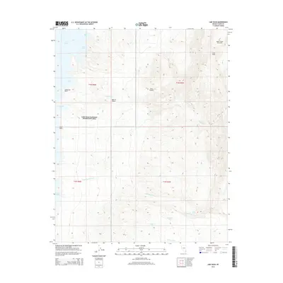
2015 Map of Lime Wash
USGS Topo · Published 2015About this map
The South Virgin Mountains define the high eastern boundary of this desert landscape, where the arid terrain descends into the eastern reaches of the Lake Mead National Recreation Area. The map reveals a complex system of seasonal drainage and springs essential to life in the Mojave Desert, including Quail Spring, Mockingbird Spring, and Maynard Spring. These water sources are dispersed among landforms like Lime Canyon and Lime Ridge, which channel runoff through the eponymous Lime Wash toward the reservoir. Along the shoreline, the topography transitions into the Virgin Basin, marked by distinct coastal features such as Submarine Point, Twin Peaks Cove, and the aptly named Glory Hole. The map serves as a precise record of the shoreline and wilderness boundaries in Clark County during the early 21st century.
Find a feature on this map
22 named features on this map. Tap any name to fly to it.
Don’t see what you’re looking for? This feature index may not catch every label — zoom into the map to look around manually.
Map Details
Editions of this 2015 Lime Wash Map
This is the sole edition of this map. No revisions or reprints were ever made.
Other maps of this area

1886 · Saint Thomas
USGS Topo · 1:250,000

1893 · Saint Thomas
USGS Topo · 1:250,000

1926 · Bonelli
USGS Topo · 1:96,000

1953 · Overton Beach
USGS Topo · 1:62,500

1953 · Iceberg Canyon
USGS Topo · 1:62,500

1953 · Gold Butte
USGS Topo · 1:62,500

1953 · Virgin Basin
USGS Topo · 1:62,500

1954 · Las Vegas
USGS Topo · 1:250,000

1957 · Las Vegas
USGS Topo · 1:250,000

1959 · Las Vegas
USGS Topo · 1:250,000