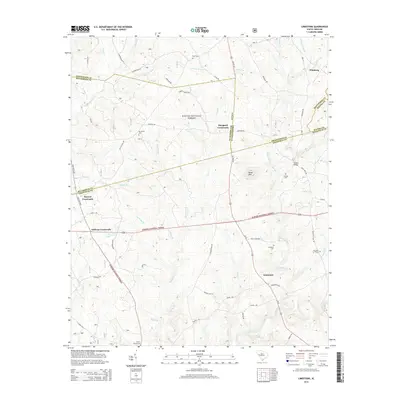
2014 Map of Limestone
USGS Topo · Published 2014About this map
Sumter National Forest land dominates the lower half of this landscape, where the borders of Greenwood, McCormick, Edgefield, and Saluda counties converge. Several historic junction points and small settlements are preserved here, including Pittsburg, Limestone, and Mayson Crossroads. Local genealogical interest is found in the scattered rural burial grounds such as Liberty Spring Cem and Mt Vernon Cem, often located near family-named roads like Jordan Rd and Harrison Rd. The area's hydrology is defined by many small waterways feeding into larger systems, with Cuffytown Cr and Rocky Cr carving through the wooded terrain. This map captures a rural South Carolina landscape where timberland and crossroads communities have shaped the geography for generations.
Find a feature on this map
76 named features on this map. Tap any name to fly to it.
Don’t see what you’re looking for? This feature index may not catch every label — zoom into the map to look around manually.
Map Details
Editions of this 2014 Limestone Map
This is the sole edition of this map. No revisions or reprints were ever made.
Other maps of this area

1892 · Mc Cormick
USGS Topo · 1:125,000

1892 · Abbeville
USGS Topo · 1:125,000

1908 · Kirksey
USGS Topo · 1:24,000

1912 · Mc Cormick
USGS Topo · 1:125,000

1941 · Spartanburg
USGS Topo · 1:250,000

1950 · Bradley
USGS Topo · 1:24,000

1950 · Kirksey
USGS Topo · 1:24,000

1953 · Athens
USGS Topo · 1:250,000

1953 · Spartanburg
USGS Topo · 1:250,000

1954 · Augusta
USGS Topo · 1:250,000