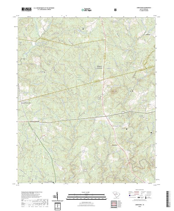
2024 Map of Limestone
USGS Topo · Published 2024About this map
Sumter National Forest dominates the central portion of this South Carolina landscape, where the intersections of historic rural roads define the social geography. Small, longstanding communities like Sheppard Crossroads, Mayson Crossroads, and Sullivan Crossroads are situated along the ridges between numerous drainages, including Cuffytown Creek and Turkey Creek. This network of local thoroughfares, such as Scotts Ferry Rd and N Martintown Rd, connects a series of traditional sites and burial grounds that are vital for family history research.
Find a feature on this map
80 named features on this map. Tap any name to fly to it.
Don’t see what you’re looking for? This feature index may not catch every label — zoom into the map to look around manually.
Map Details
Editions of this 2024 Limestone Map
This is the sole edition of this map. No revisions or reprints were ever made.
Other maps of this area

1892 · Mc Cormick
USGS Topo · 1:125,000

1892 · Abbeville
USGS Topo · 1:125,000

1908 · Kirksey
USGS Topo · 1:24,000

1912 · Mc Cormick
USGS Topo · 1:125,000

1941 · Spartanburg
USGS Topo · 1:250,000

1950 · Bradley
USGS Topo · 1:24,000

1950 · Kirksey
USGS Topo · 1:24,000

1953 · Athens
USGS Topo · 1:250,000

1953 · Spartanburg
USGS Topo · 1:250,000

1954 · Augusta
USGS Topo · 1:250,000