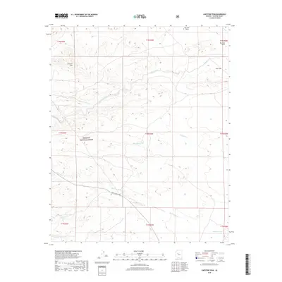
2018 Map of Limestone Peak
USGS Topo · Published 2018About this map
Limestone Peak dominates this high-altitude landscape within the Prescott National Forest, where the topography reflects a complex network of seasonal drainages. The northern portion of the quadrangle opens into the broad Big Chino Valley, a significant geographic feature that transitions into the more broken terrain of Aztec Pass. This pass serves as a natural corridor between the valley and the higher peaks to the west, historically influencing travel routes through the region.
Find a feature on this map
22 named features on this map. Tap any name to fly to it.
Don’t see what you’re looking for? This feature index may not catch every label — zoom into the map to look around manually.
Map Details
Editions of this 2018 Limestone Peak Map
This is the sole edition of this map. No revisions or reprints were ever made.
Other maps of this area

1886 · Chino
USGS Topo · 1:250,000

1887 · Prescott
USGS Topo · 1:250,000

1891 · Chino
USGS Topo · 1:250,000

1892 · Prescott
USGS Topo · 1:250,000

1947 · Simmons
USGS Topo · 1:62,500

1947 · Picacho Butte
USGS Topo · 1:62,500

1947 · Turkey Canyon
USGS Topo · 1:62,500

1947 · Camp Wood
USGS Topo · 1:62,500

1948 · Williams
USGS Topo · 1:250,000

1948 · Picacho Butte
USGS Topo · 1:63,360