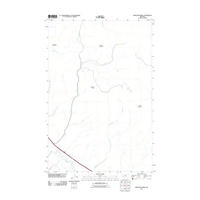
2011 Map of Limestone Ridge
USGS Topo · Published 2011About this map
Limestone Ridge and the high peaks of Sturgeon Mountain and Saddle Mountain dominate this Granite County landscape. The southern edge of the map is defined by the Clark Fork river corridor, which serves as the primary artery for transportation. Here, Frontage Rd E and the historic path of the East Mullan Trl track the river's course, following a route long established by early western travel. To the north, the terrain becomes more complex as numerous drainages like Morris Creek and Bert Creek carve through the mountains. Connectivity into the interior is maintained by MT Highway 271 and the Saddle Mt Lookout Rd, which provides access toward the higher elevations of Campbell Mountain.
Find a feature on this map
14 named features on this map. Tap any name to fly to it.
Don’t see what you’re looking for? This feature index may not catch every label — zoom into the map to look around manually.
Map Details
Editions of this 2011 Limestone Ridge Map
This is the sole edition of this map. No revisions or reprints were ever made.
Other maps of this area

1889 · Helena
USGS Topo · 1:250,000

1893 · Helena
USGS Topo · 1:250,000

1899 · Helena
USGS Topo · 1:250,000

1903 · Helena
USGS Topo · 1:250,000

1919 · Drummond
USGS Topo · 1:125,000

1921 · Drummond
USGS Topo · 1:125,000

1947 · Butte
USGS Topo · 1:250,000

1958 · Butte
USGS Topo · 1:250,000

1958 · Drummond
USGS Topo · 1:62,500

1958 · Garrison
USGS Topo · 1:62,500